The Gunflint Trail–A National Scenic Byway
—
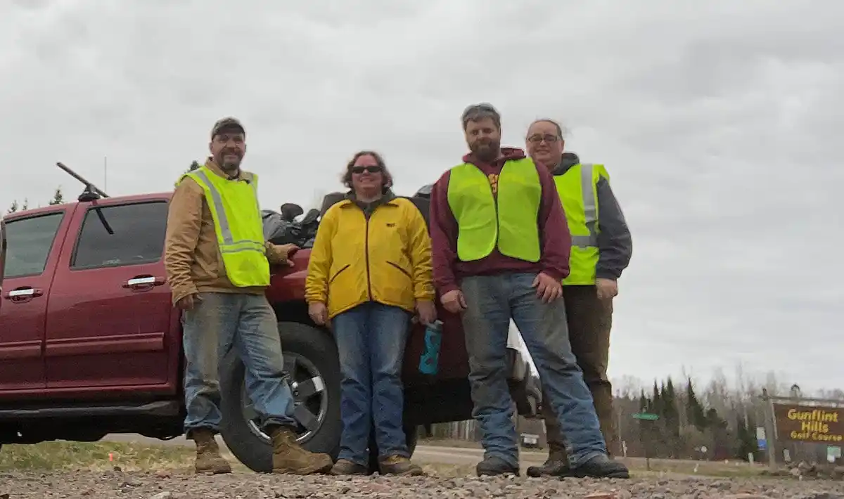
Preserving, protecting, and honoring the historic Gunflint Trail is the focus of The Gunflint Trail Scenic Byway Committee, which consists of residents, seasonal property owners, and business owners here at our gateway to the BWCAW.
The Scenic Byway Committee operates under the auspices of the Gunflint Trail Association.
The Chair of the Byway Committee is Nancy Seaton of Hungry Jack Outfitters, and its Secretary is Stephanie Lightner of Rockwood Lodge. They meet with a group of committee members on the first Tuesday of every other month at the Schaap Community Center at the Gunflint Trail fire hall.
“We are always looking for more people to serve on our committee,” Stephanie said.
The Gunflint Trail was designated a Minnesota Scenic Byway in 1999. It achieved designation as a National Scenic Byway in 2009.
The upgraded designation increased the visibility of the Gunflint Trail, positively affected the area’s economy, and offered expanded tools to preserve and enhance this edge of the wilderness driving experience.
Scenic byway was a footpath
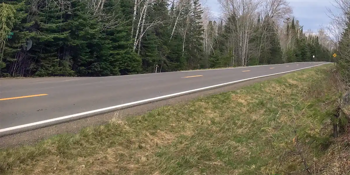
The Gunflint Trail began as a footpath for native Anishinaabe and early settlers in the 1800s to connect our wilderness area with the Lake Superior harbor town of Grand Marais. Over the years, it developed into a dirt road and, in time, became the paved two-lane Cook County Road 12 that it is today.
The Trail begins at Minnesota Highway 61 on the east side of Grand Marais. Highway 61 is recognized as the North Shore Scenic Byway and an All-American Road.
From Chik Wauk Museum’s website: First named the Rove Lake Road, Cook County Commissioners authorized the Gunflint Trail road construction in 1884. Prior to that, it was a walking trail used by Native Americans, trappers, surveyors, and prospectors. Looking back, archeologists have discovered evidence of human inhabitants from the Paleolithic period. Dakota, Cree, and Anishinaabe lived on the land well before Europeans appeared. Where once the land was owned by all, the Treaty of 1854 ceded the land and private ownership soon followed.
Native Americans, fur trappers and traders, Voyageurs, miners and loggers, fishing camps, resorts, campgrounds, and individual residents are all part of Gunflint Trail history. The natural history of the land and water is inseparable from the stories of people.
Take a journey through time. Experience the cultural and natural history of the Gunflint Trail at Chik-Wauk Museum and Nature Center.
https://gunflinthistory.org/
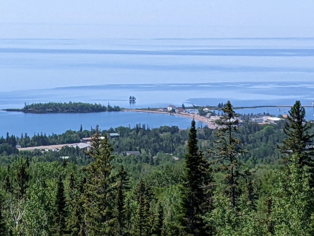
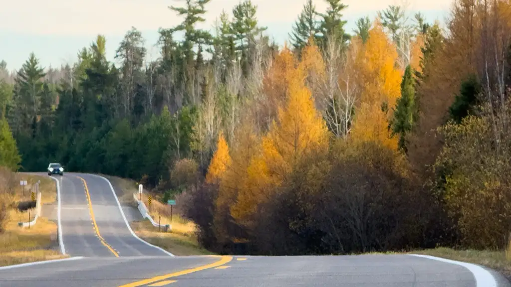
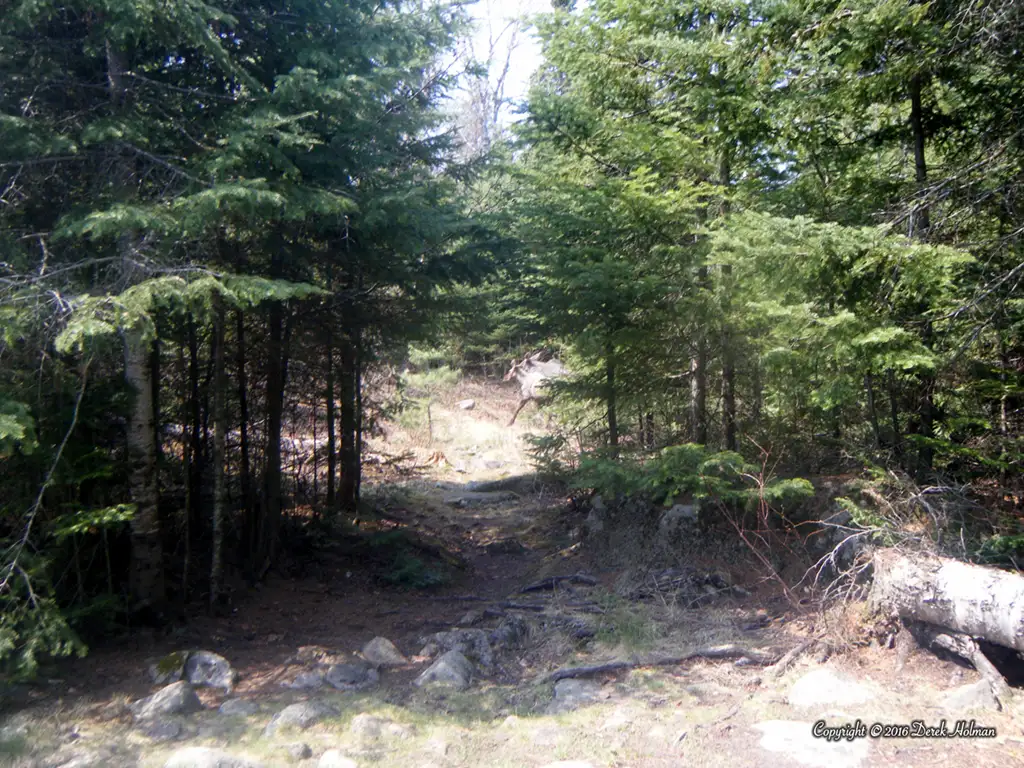
The Trail ends at Gull Lake at “Trails End Campground” on the edge of the BWCAW. As you drive up The Trail, you rise almost 1,200 feet. Up the hill from the North Shore Scenic byway, you come across beautiful overlooks of Lake Superior and the harbor village below.
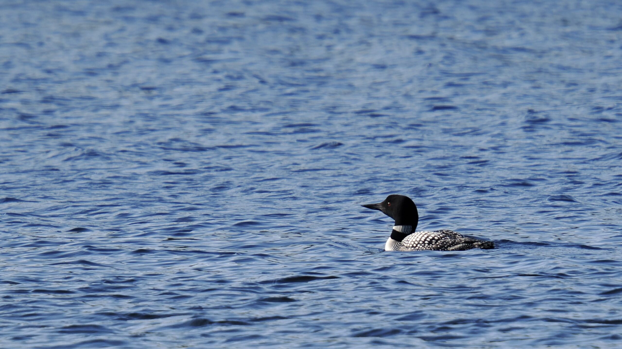
photo by Tammy Nara
The Trail ends at Gull Lake at “Trails End Campground” on the edge of the BWCAW. As you drive up The Trail, you rise almost 1,200 feet. Up the hill from the North Shore Scenic byway, you come across beautiful overlooks of Lake Superior and the harbor village below.
From Grand Marais to its end, the Gunflint Trail winds 57 miles through Boreal forest Land.
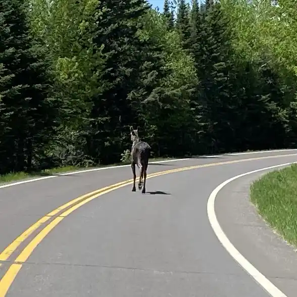
Curves can be tight, hills make for blind intersections, and wildlife like moose and deer can appear from nowhere. Seeing wildlife is cool, but it can present a danger to motorists. A half-ton of moose colliding with a car will seriously injure passengers. Thus, it is imperative to maintain driving speed at or below posted limits, especially in areas like the mid-trail region where pedestrians are more likely. Enjoy the drive, but stay alert.
Timber sales in the Superior National Forest lead to periodic increases in logging truck traffic on The Trail. Be aware that a truck loaded with recently felled trees has an increased stopping distance and won’t be setting any speed records going up our hills. They can be challenging to pass, too. Drive courteously and defensively when you see them.
The road surface can get slippery in the winter, and awareness of snowmobilers and skiers is imperative.
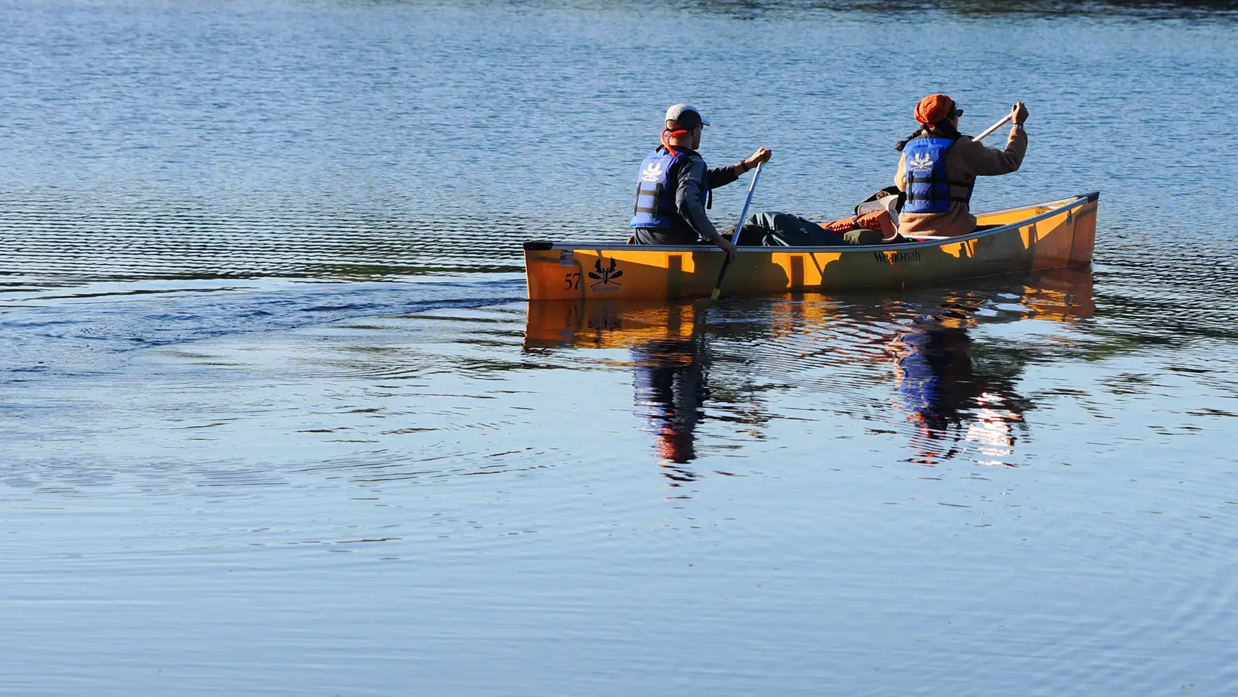
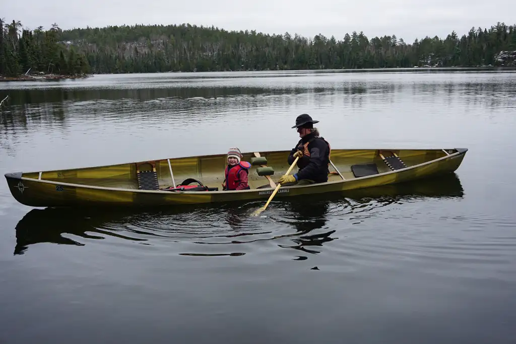
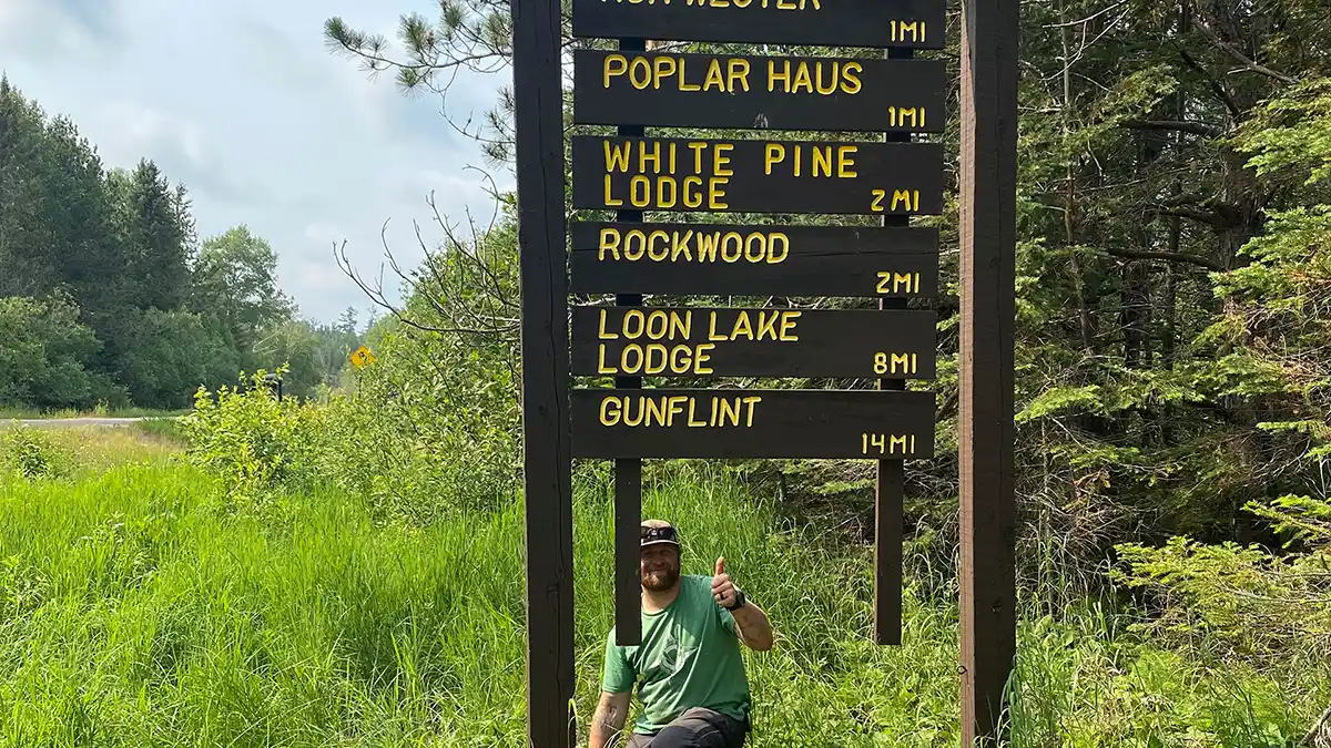
Rockwood Lodge is on Poplar Lake in the so-called Mid-Trail location. Part of the original dirt road of the Gunflint Trail graces our property here. Let us show it to you.
National Scenic Byways Program
The National Scenic Byways Program (NSBP) was authorized by the US Congress in 1991. It is intended to promote tourism and economic development while recognizing and protecting roads that are important for history, archaeology, recreation, nature, scenery, and culture.
The Scenic America website states, “A scenic byway is a road corridor that has regionally significant scenic, natural, recreational, cultural, historic, or archaeological significance.” Indeed, the Gunflint Trail is an area of natural beauty, cultural significance, and historical importance. It attracts serious interest from geologists, amateurs, and otherwise.
The Gunflint Trail Scenic Byway committee adopted a Corridor Management plan in 2014. The committee meets regularly and coordinates with the USFS and the Cook County Highway Department to preserve the natural, historic, and scenic character of The Trail.
On any given day in the summer, thousands of people travel part or all of the Gunflint Trail. In addition to short-term visitors and seasonal property owners, the area has many resort and restaurant operations and year-round residents. The natural intrinsic quality of The Trail is important to every one of them.
The Scenic Byway committee works to protect natural and scenic resources and manage tourism at sustainable levels so that residents enjoy the benefits of tourism without feeling over-run.
Its mission is “…to act as advocates and stewards for the preservation, protection, understanding, and maintenance of the natural and historic intrinsic values of the Gunflint Trail (Cook County Road #12) and its corridor.”
Its goal is “…to work with all stakeholders to understand and retain the intrinsic values of the Gunflint Trail corridor for all those who work, live, recreate and value the area.”
As a proud member of The Gunflint Trail Association and its Scenic Byway Committee, we look forward to seeing you visit our area. When you do, drive safel as you enjoy the wilderness the Scenic Gunflint Trail passes through.