Waterfalls Along Highway 61 and the Gunflint Trail
—
Waterfalls!
Springtime is waterfall time here at the gateway to the Boundary Waters Canoe Area Wilderness.
Northeastern Minnesota was sculpted by glaciers and carved by rivers. The waterfalls that remained are a beautiful feature of the region.
We just finished a winter with a low amount of snowfall, but what snowmelt there is has been augmented by April and May showers. You will still enjoy the gurgling and roaring cascades this spring. Whether you want a quick stop on the drive-up or want to plan day trips while you’re here, we’ve got the information you need.
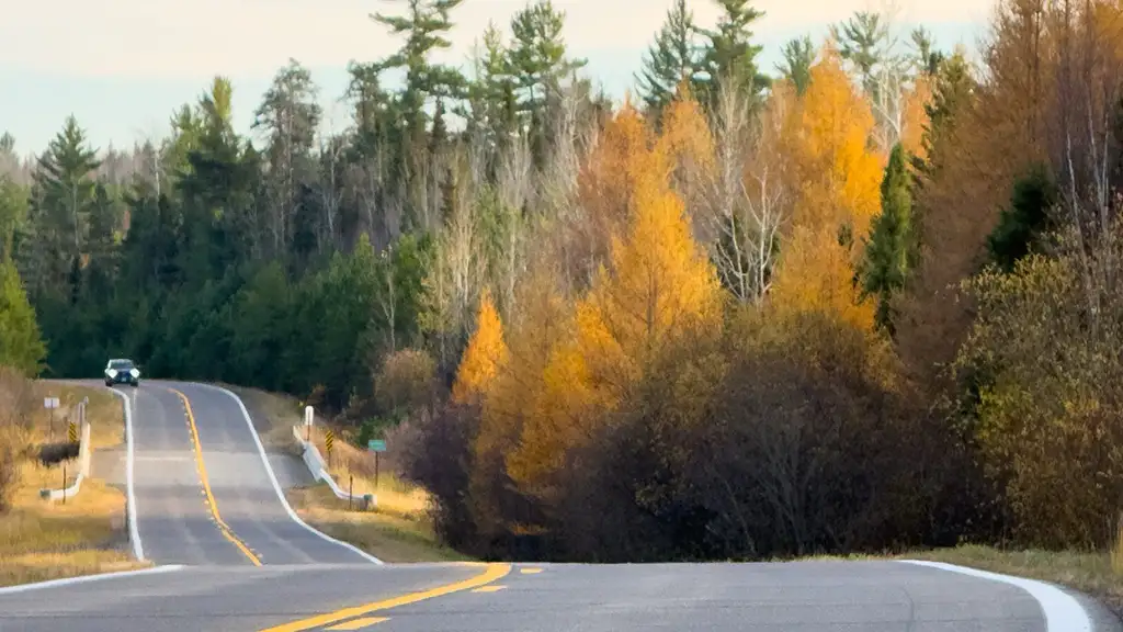
Many waterfalls are easily accessed from Minnesota Highway 61. To add a little adventure to your trip to the BWCAW, plan some extra time to stop and visit these wonders on your way here.
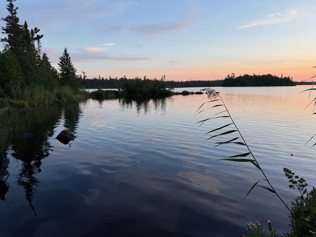
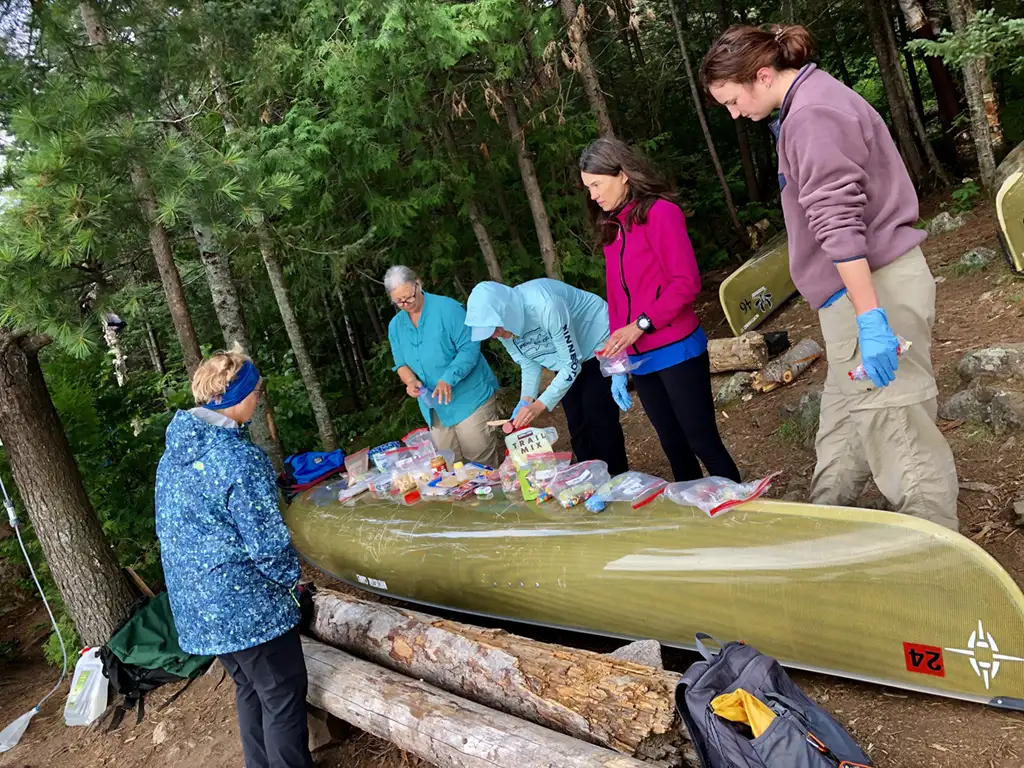
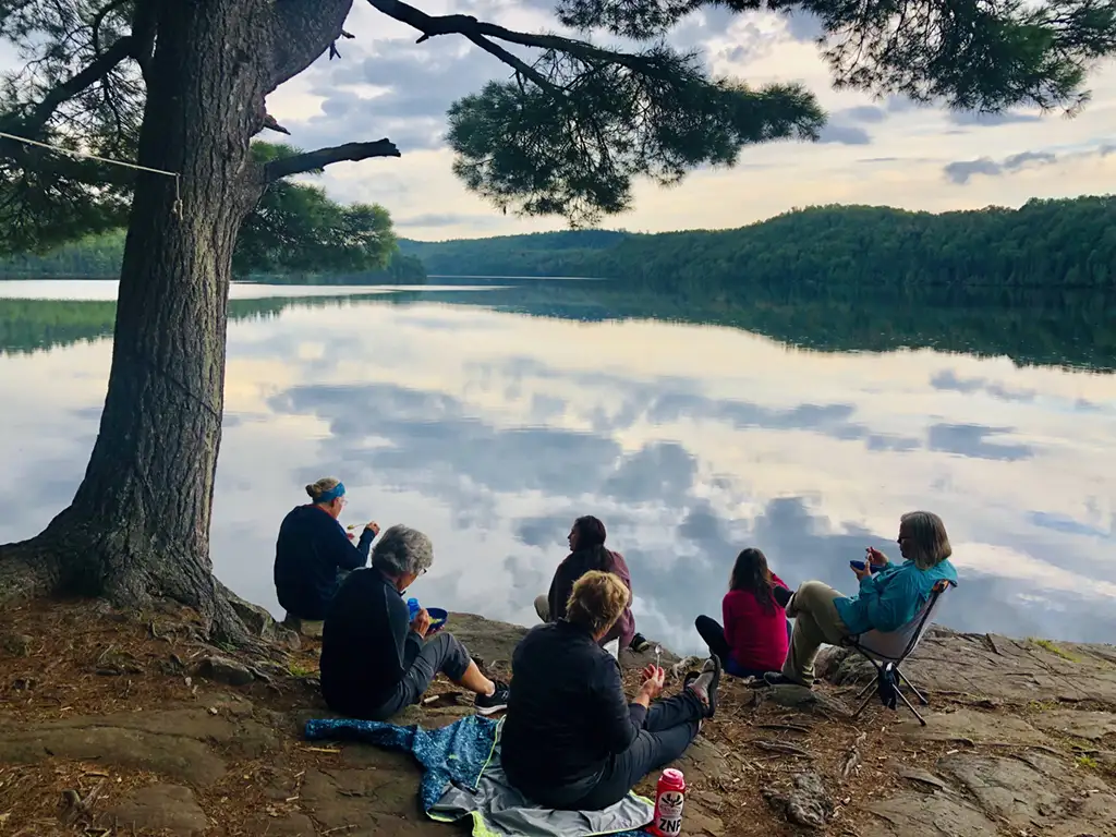
You can plan to canoe or hike to some fantastic wilderness waterfalls from your Gunflint Trail base camp.
Waterfalls from Duluth to Grand Marais
Some of these waterfalls are accessible from the state parks along the shore, while others are accessible from wayside rests or county roads that head inland.
- Gooseberry Falls–One of the most popular places to stop, stretch your legs, visit the facilities, and see and hear the four waterfalls that are an easy hike along the river.
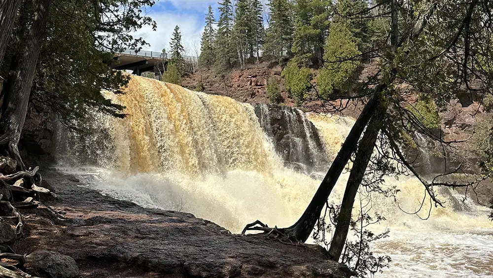
- Tettegouche State Park/Rest Area–Some consider this the halfway point between Duluth and Grand Marais. Straddling the Baptism River, the park offers four separate waterfalls: Cascade, High Falls (the highest waterfalls entirely in the State of Minnesota), Two Step Falls, and Illgen Falls.
- Split Rock River State Park–can be accessed from a wayside rest about a mile west of the famous Lady Split Rock Lighthouse.
- Beaver River—The Beaver River Empties into Lake Superior on the east side of Beaver Bay. The falls are accessed from the wayside rest perched above the gorge carved by the river.
- Cross River Falls—Cutting through the town of Schroeder, the Cross River Falls are spectacular year-round, especially in Spring. Stand on the bridge over the river, and you can’t miss the roar and mist of this beauty. If you have extra time, visit Father Baraga’s Cross on the way out of town. It commemorates the 1830s crossing of Lake Superior from the Wisconsin shore by a Catholic Missionary.
- Temperance River State Park—Parking is right along the highway, and a short hike inland along the river will bring you to a series of waterfalls.
- Cascade River State Park—Here, too, you can park right along the highway and walk the trails upriver. Alternatively, you can access the Superior Hiking Trail and hike to the falls.
- Fall River/Rosebush Creek Waterfalls—A few miles west of Grand Marais, this waterfall was virtually hidden from view until the Gitchi-Gami trail was connected to Grand Marais. A short distance inland, the Fall River is joined by Rosebush Creek, and they combine to make a stunning attraction just above the highway. It is best viewed from the Gitchi-Gami hiking trail on the lake side of Highway 61.
Waterfalls from Grand Marais to the Border
You can plan a day trip east of Grand Marais to Grand Portage State Park, where you can see the tallest waterfall in Minnesota. The High Falls on the Pigeon River there fall 120 feet. It is larger than the High Falls on the Baptism River at Tettegouche State Park, but since it rests on the border with Canada, it is not considered wholly within Minnesota.
- Devil Track Falls–About five miles east of Grand Marais, the Devil Track River empties into Lake Superior. The falls are accessed on Cook County 58, a few miles inland from Highway 61.
- Kadunce River–Stop at the Kadunce/Kodonce River Wayside, cross the highway, and follow a Superior Hiking trail spur inland. This is a popular spot, and the hiking is relatively easy.
- Brule River–Located in the Judge CR Magney state park, you’ll find the mysterious Devil’s Kettle, where half the flow of the Brule disappears into a cauldron while the remainder roars off down the gorge. For years, there was speculation about where the disappearing water goes, but researchers eventually determined it rejoins the river further downstream. Knowing that doesn’t diminish the mystery you’ll feel when seeing this North Shore attraction.
- Pigeon River—At 120 feet, the Pigeon Falls are the highest of Minnesota’s waterfalls. They are located at Grand Portage State Park and mark the US/Canada border.
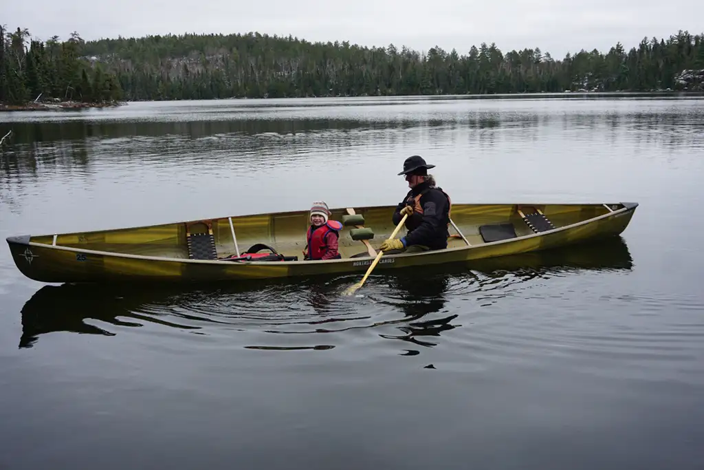
Waterfalls in the Gunflint Trail Area
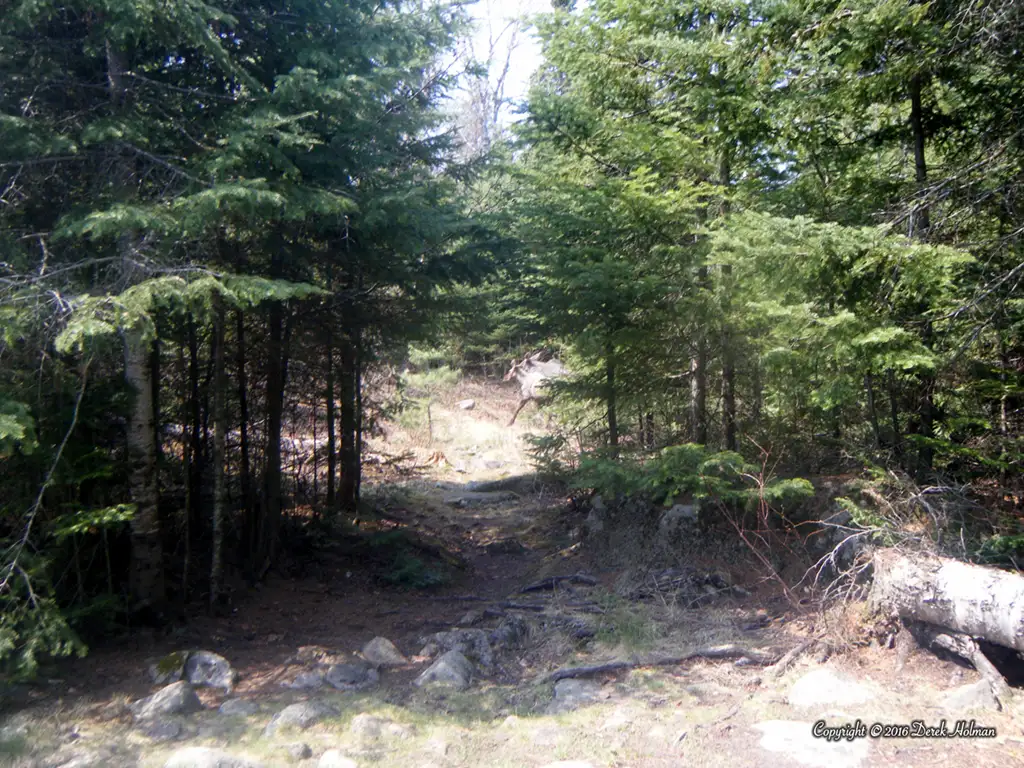
Some of the best waterfall viewings can be done with just a short hike from your car. Some, however, require a canoe and even a BWCAW entry permit.
- Larch Creek Falls is located right off the Gunflint Trail near the USFS Seagull Guard Station. About a mile up the road from the Magnetic Rock Trailhead, the creek falls just before the Guard Station. It is on the left side as you head up the Gunflint Trail.
- Bridal Veil Falls–Located in the BWCAW (permit required), this beautiful waterfall is accessed by the Crab Lake Spur at Loon Lake. On this hike, you’ll pass several scenic overlooks of Gunflint Lake.
- Johnson Falls–At the west end of Pine Lake, Johnson Falls is accessible by canoe only.
- Stairway Portage–Connecting Rose Lake and Duncan Lake, these falls are only accessible by canoe.
- Saganaga Falls—This is where the Granite River flows into Saganaga Lake. Like the others, a canoe is the best way to see this waterfall.
Add to your bucket list.
Some people find it challenging to visit all these and other waterfalls in the Arrowhead, while others only want to see the tallest ones.
Whatever suits you, we hope to see you out and enjoying all that our wilderness has to offer.