Bridal Veil Falls
—
Blog post by Kari, Summer 2018
Getting to Bridal Veil Falls
We took a boat down Gunflint Lake a few years ago, landed on a beach near the west end of the lake and took the short hike to Bridal Veil Falls. It was gorgeous and we talked about going back again someday. This spring I read a blog post on easy to moderate day hikes along the Trail, including how to get to Bridal Veil Falls on foot. https://clearwaterhistoriclodge.com/best-day-hikes-gunflint-trail/
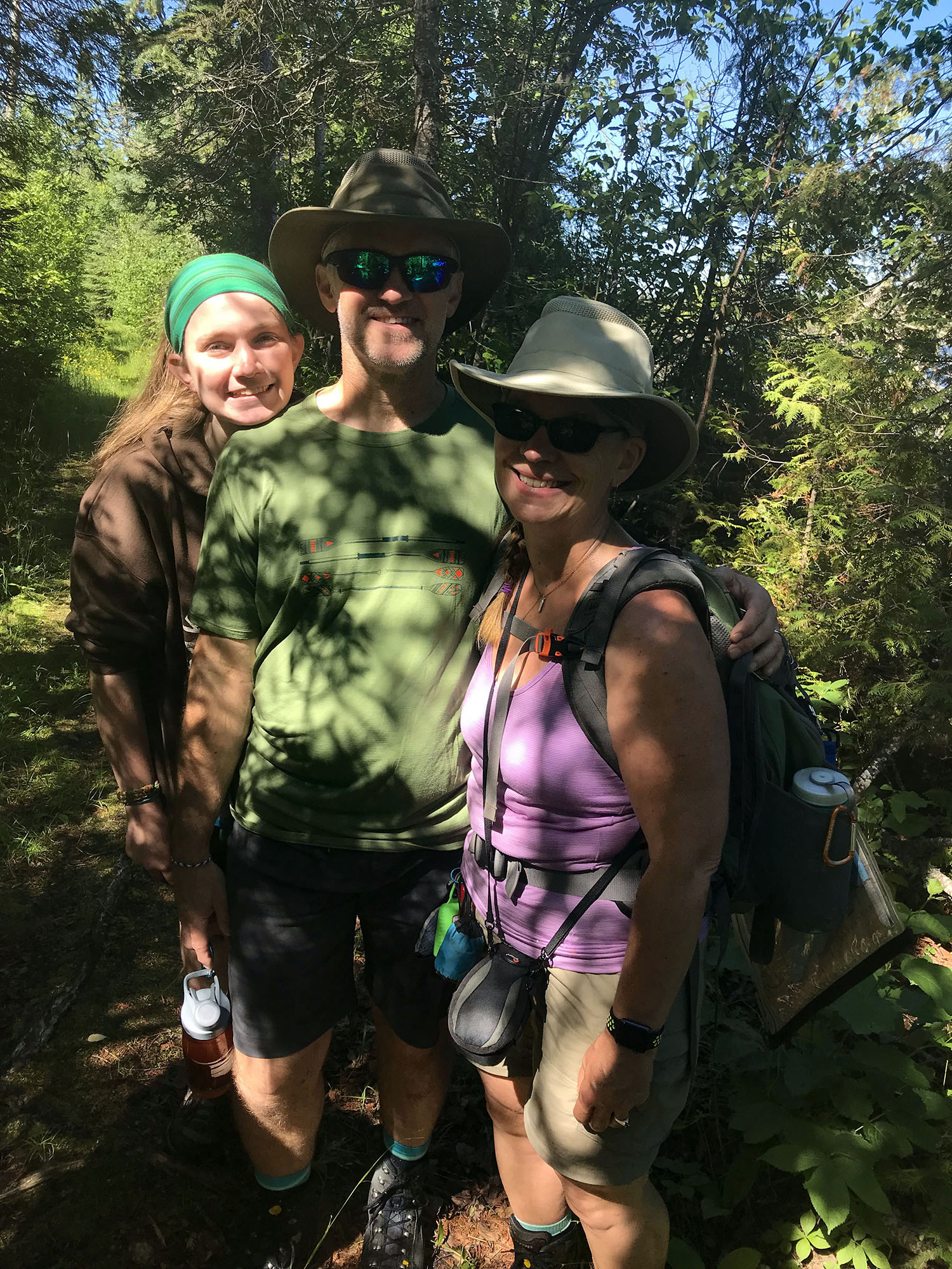
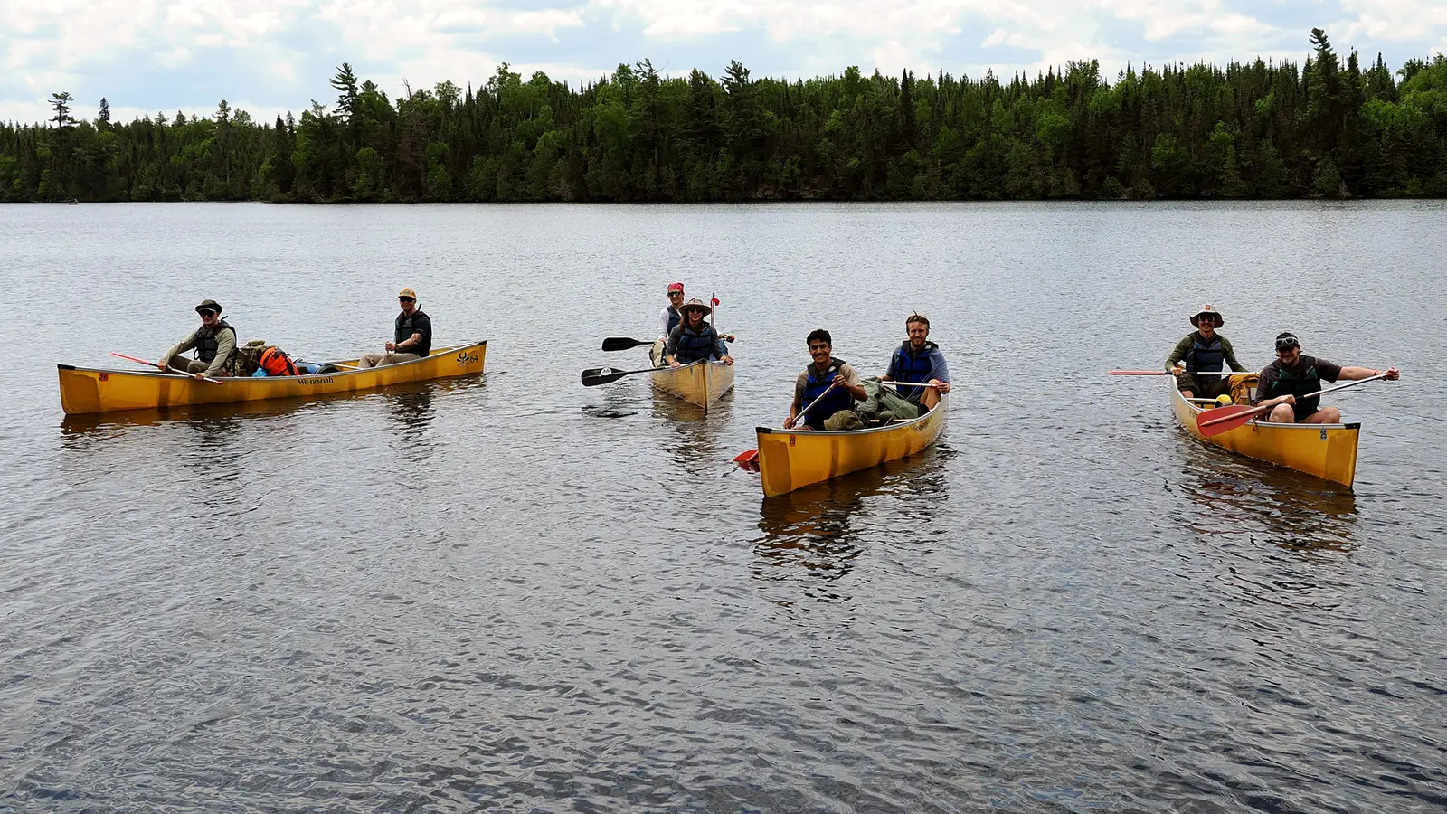
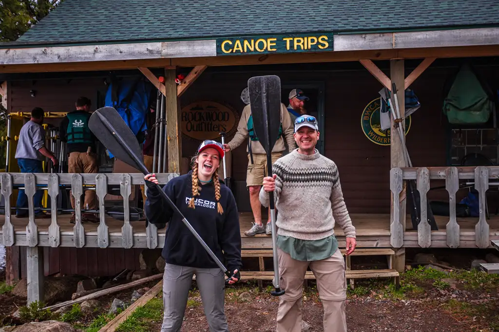
With friends from Chicago joining us for a 4th of July cabin week at Rockwood Lodge, I now had at least one daytrip to plan and started doing some research.
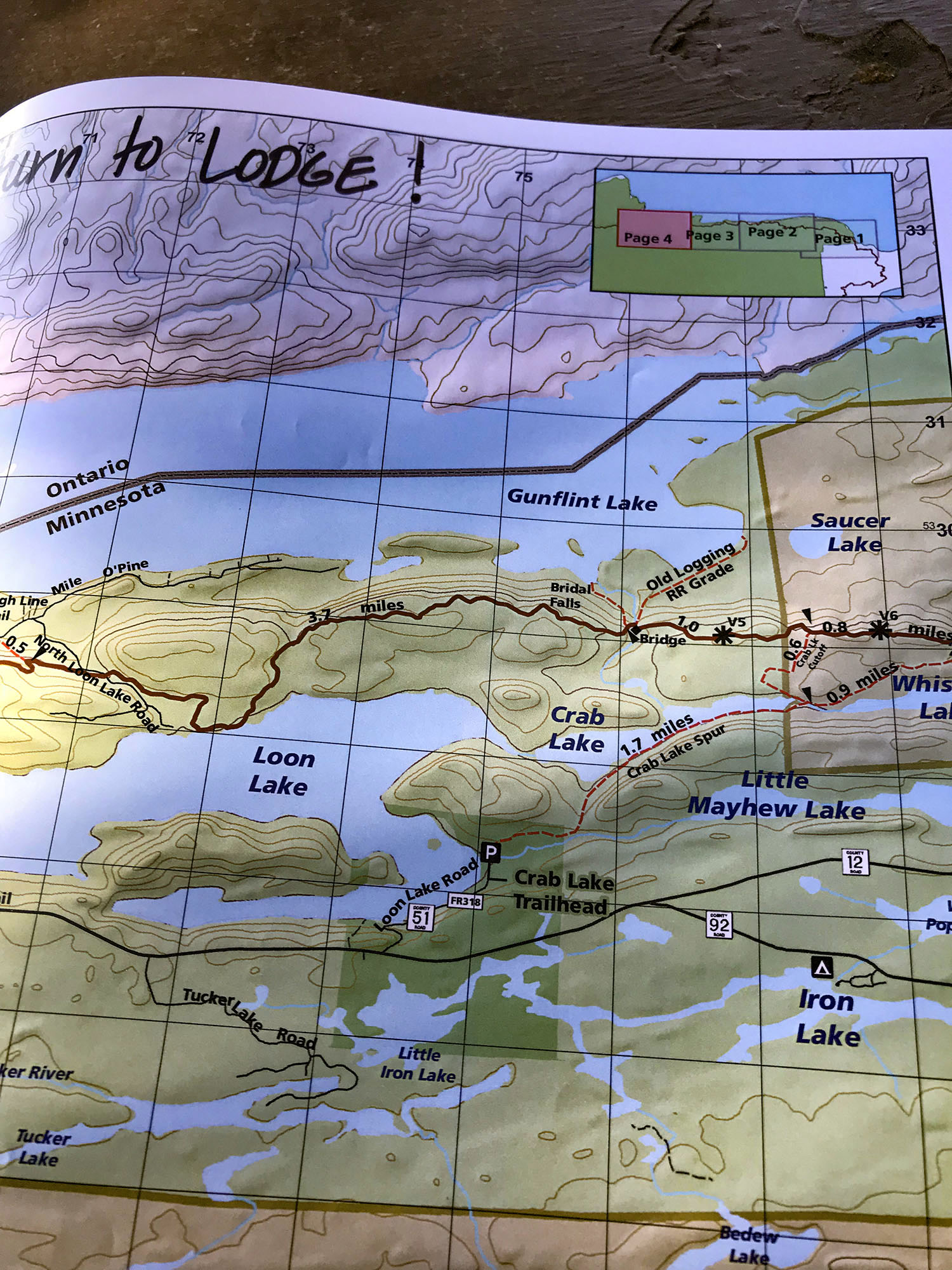
Before starting out on the morning of our adventure, Carl at Rockwood shared his trailhead map with us, adding to our navigation options for the hike.
I had already marked up one of my own maps and we also decided to pre-load a map for the area on our phones. This would give us a real-time reference point with the GPS tracking our progress along the hike. With multiple map sources loaded on our phones and in the daypack, we were ready to show our friends the beautiful Bridal Veil Falls.
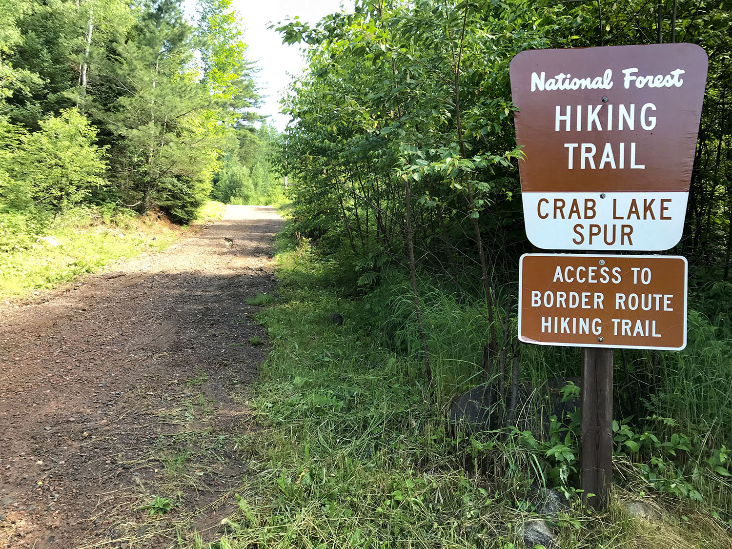
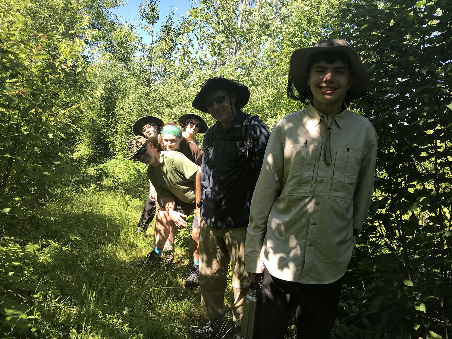
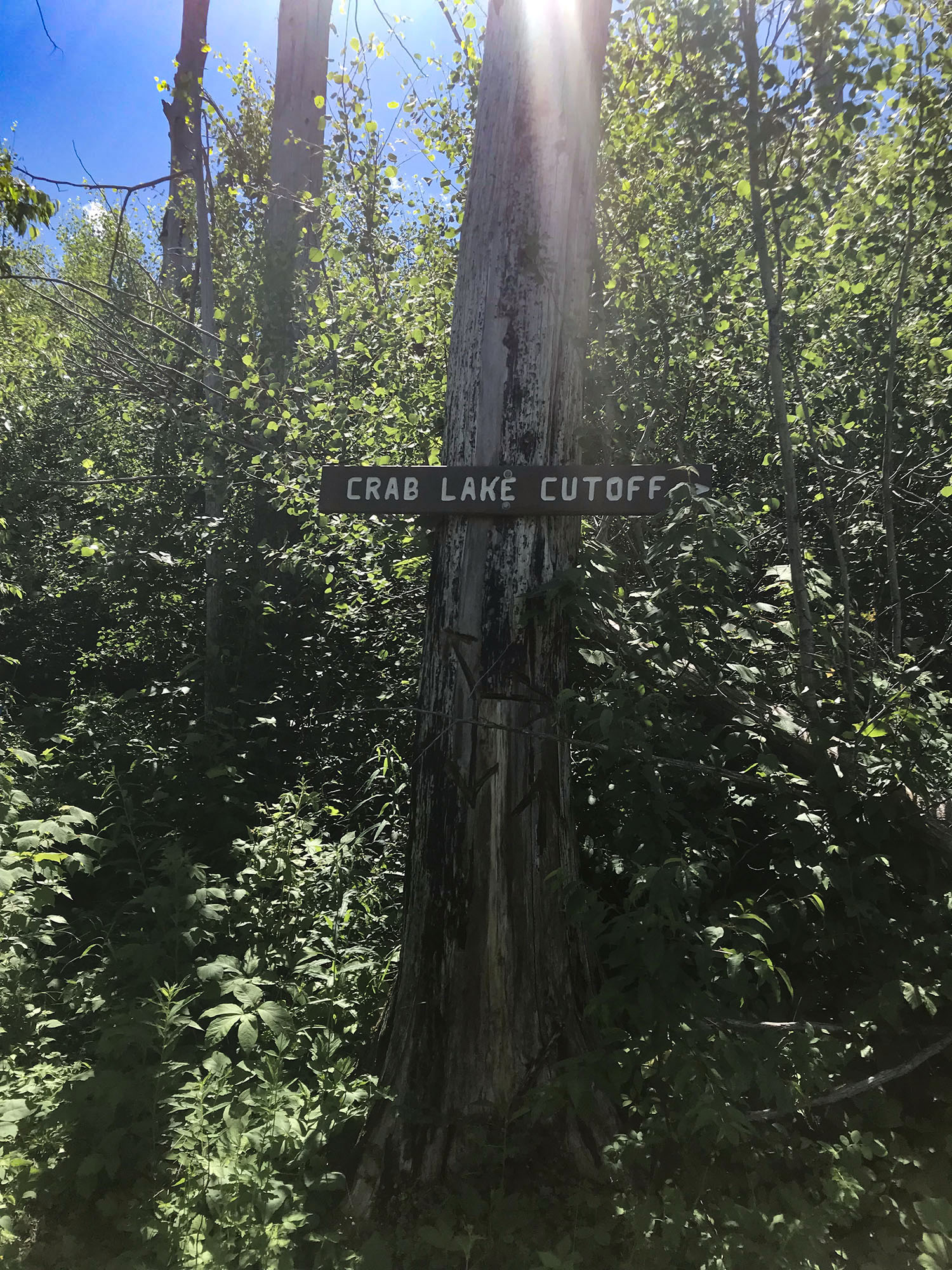
We loaded the crew in to the van and headed down the Trail from Rockwood Lodge towards N Loon Lake Road and the Crab Lake Spur Trail. This is a turnoff from the Trail that we’ve never taken but it was quite easy to find our way to the parking lot at the Trailhead, located just past Loon Lake Lodge.
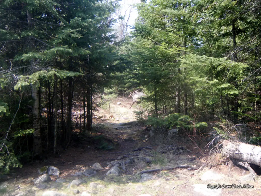
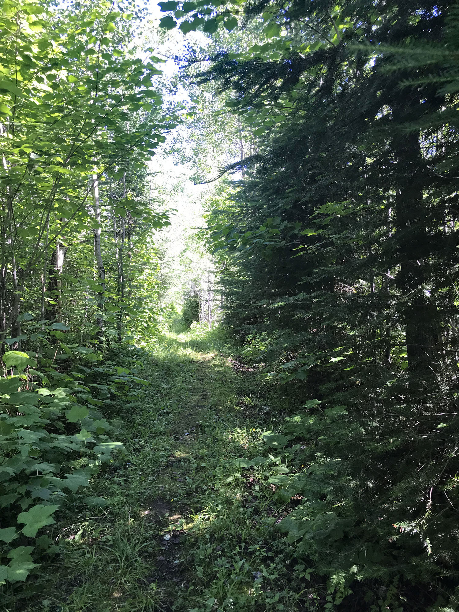
It was a perfect day for a hike through the woods. After spending much of the previous day in our rain gear or inside the cabin, the weather was beautiful and we couldn’t wait to be outside in the sunshine. We started out with a fairly easy hike on the first stretch of the Crab Lake spur trail, flat, wide open and grassy along the way.
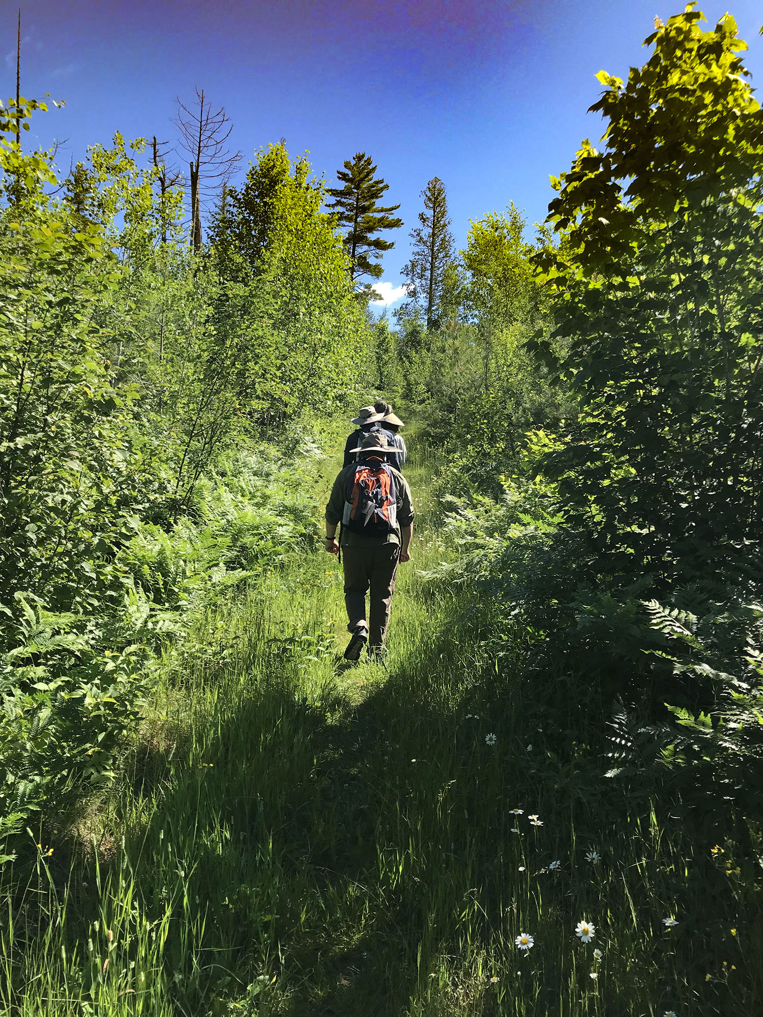
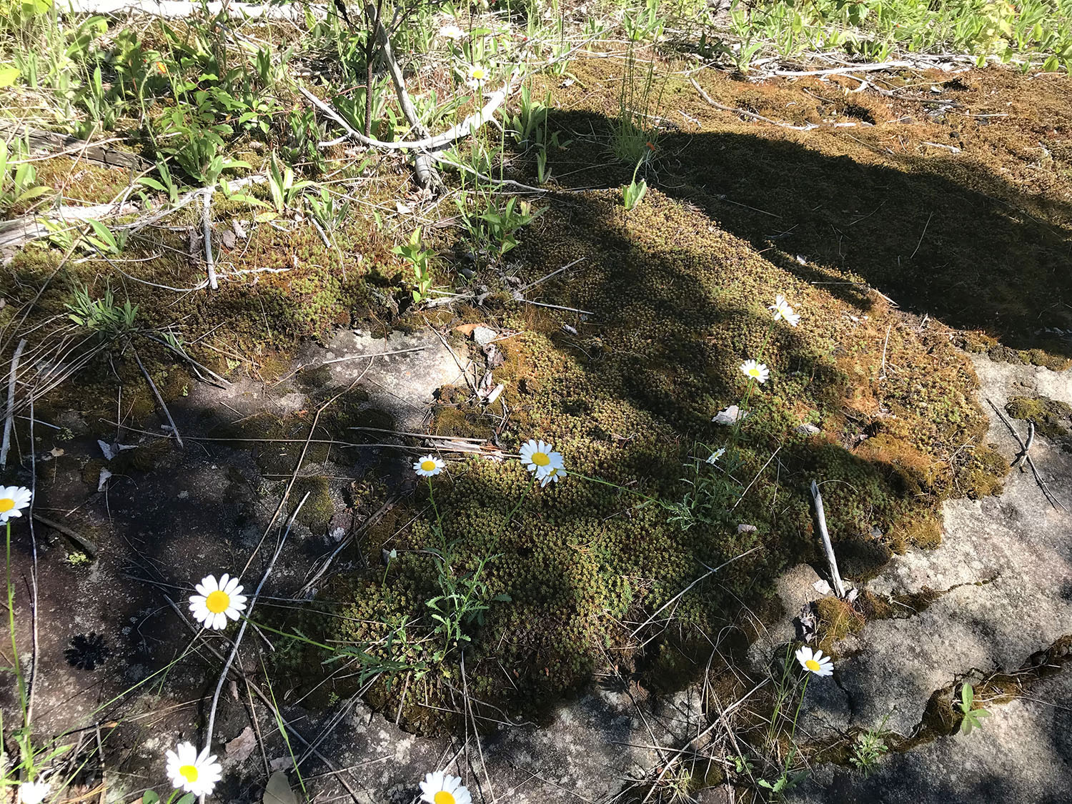
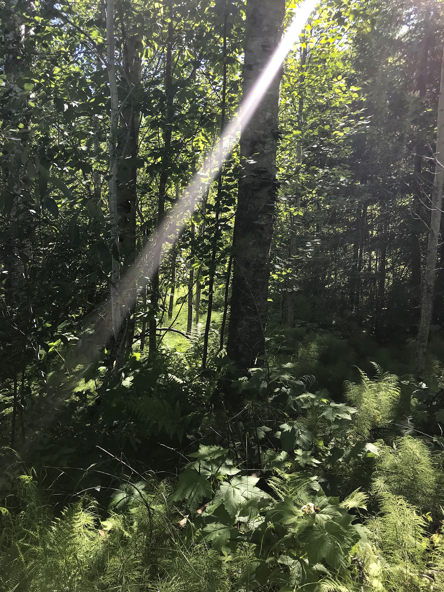
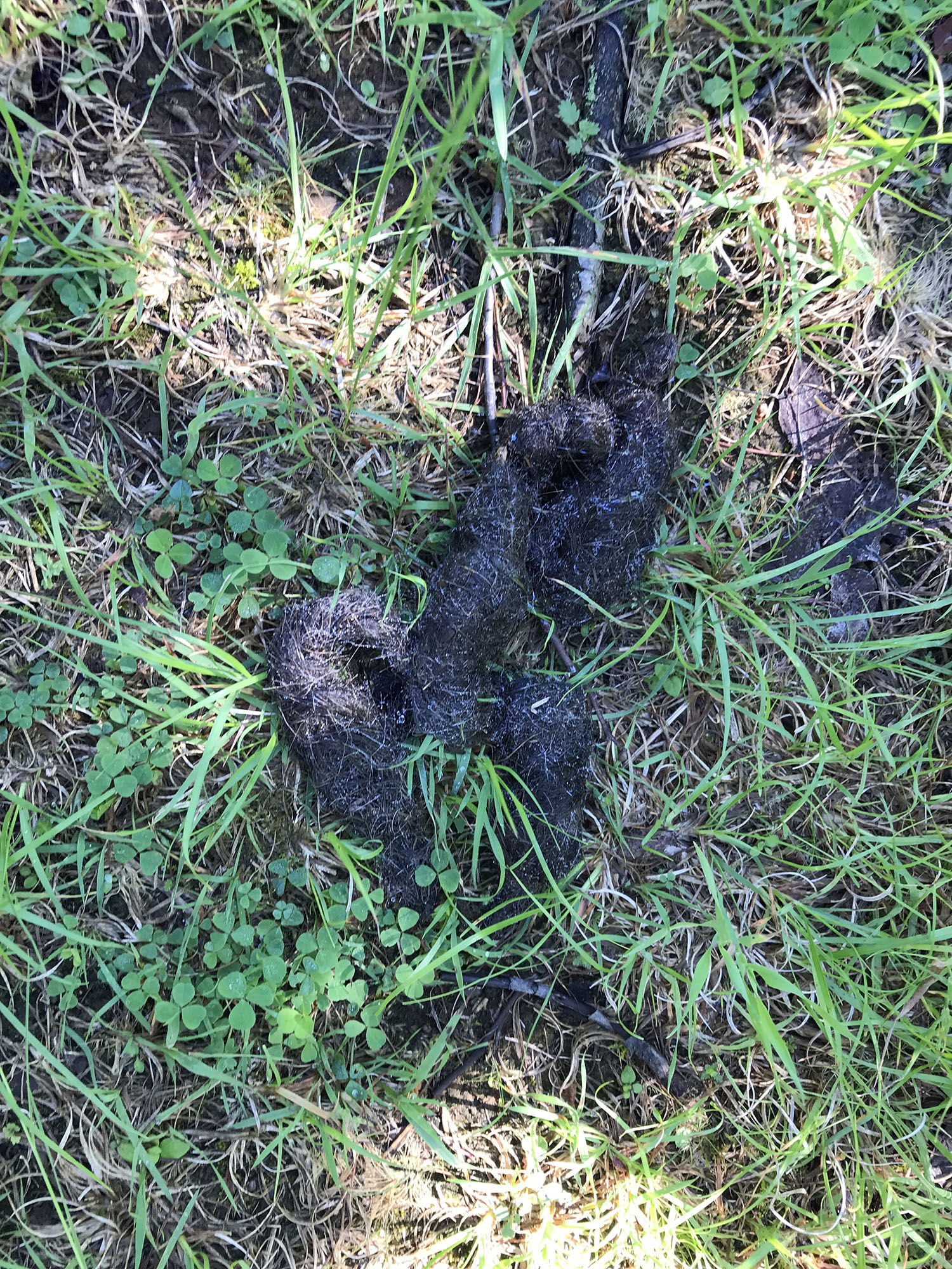
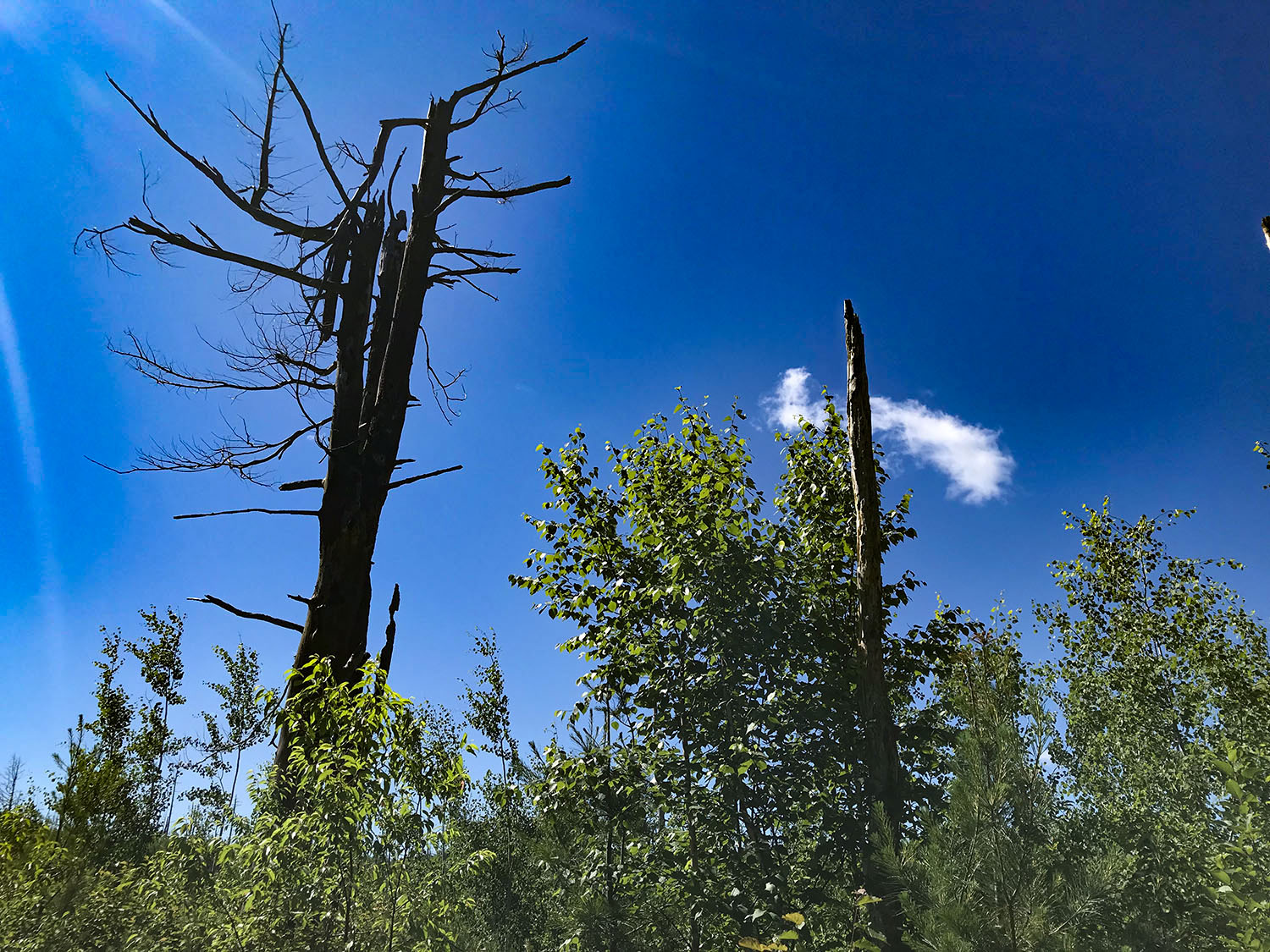
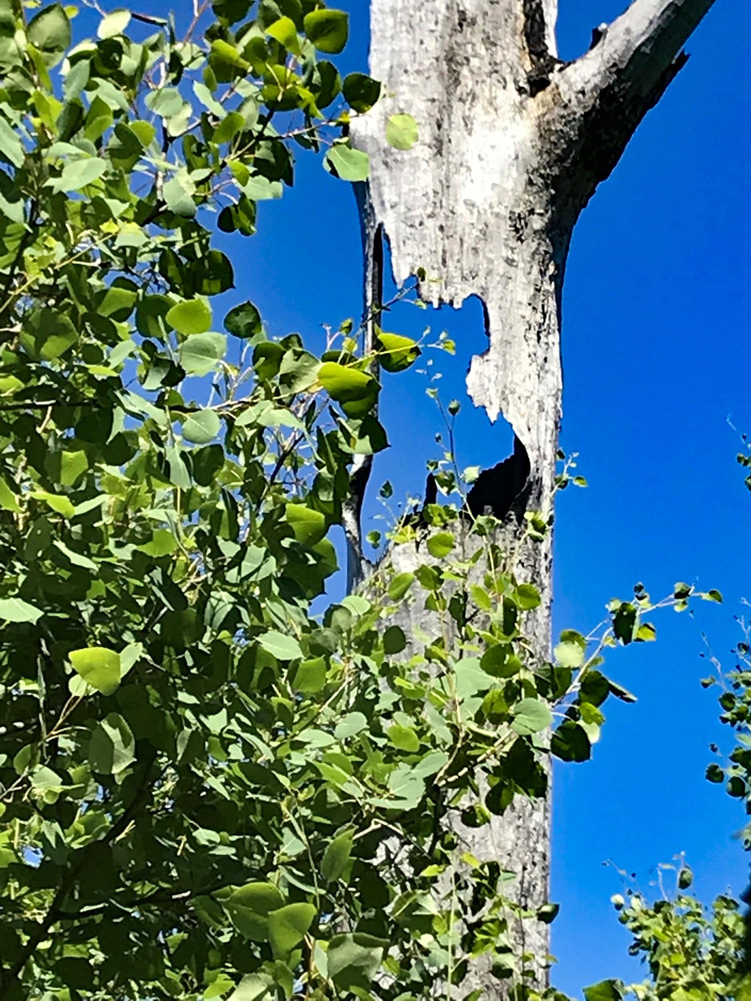
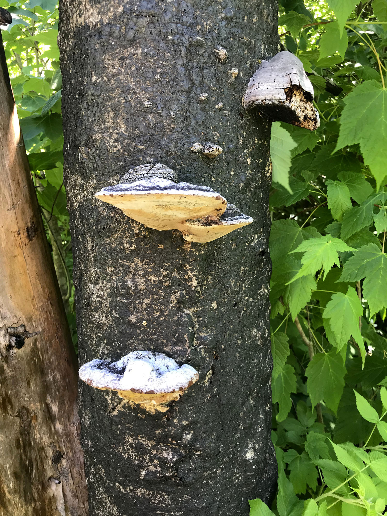
We took our time as we wandered by and through beautiful areas full of wildflowers, multiple varieties of moss, ferns and even some wolf scat. The Ham Lake Fire came through the area in 2007 and I always love seeing the rebirth of the forest.
Crab Lake Trail to Bridal Veil Falls
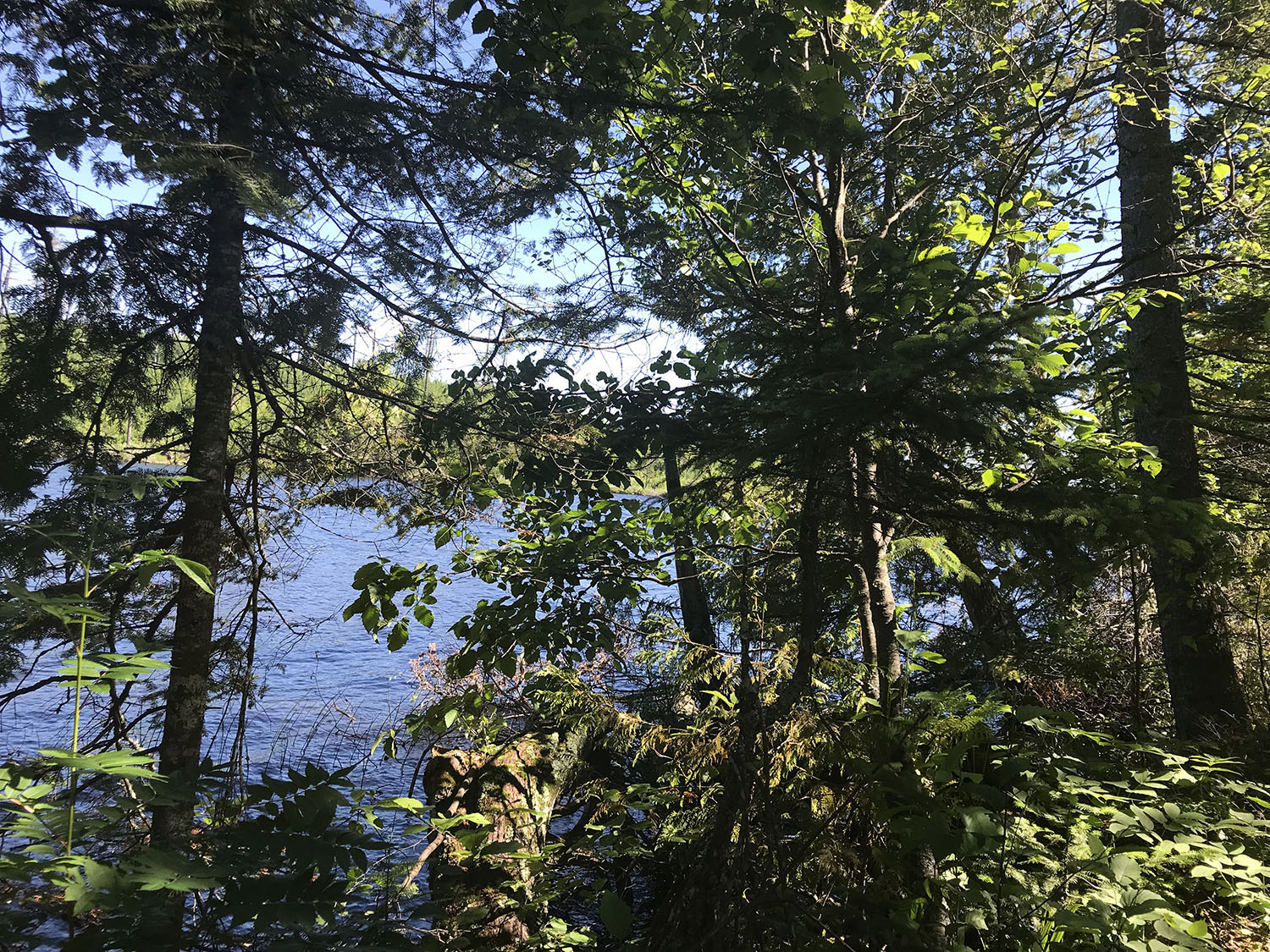
Once the trail started to follow the Crab Lake shoreline, it became a little less wide open with a few rocks and roots underfoot and an occasional obstacle but this portion of the trail remained relatively flat and easy to navigate. We could see Crab Lake most of the time but thanks to the pre-loaded GPS map we also knew when the lake wasn’t visible that we were still following along the shoreline, though farther back from the water.
There was a nice short trail down to Crab lake partway down the shoreline and we would end up taking advantage of that on our return trip to use our portable water filter and refill water bottles.
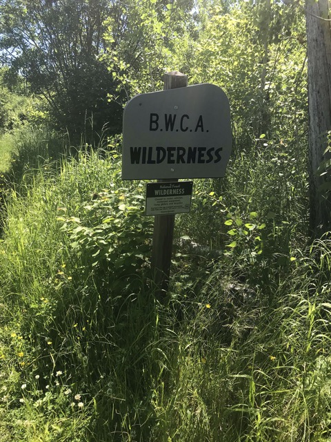
Make sure to bring along a day permit for the BWCA. You will cross in to the wilderness along a portion of the spur trail, though most of the hike is outside the Boundary Waters. We always carry extra permits in our day pack so we are prepared.
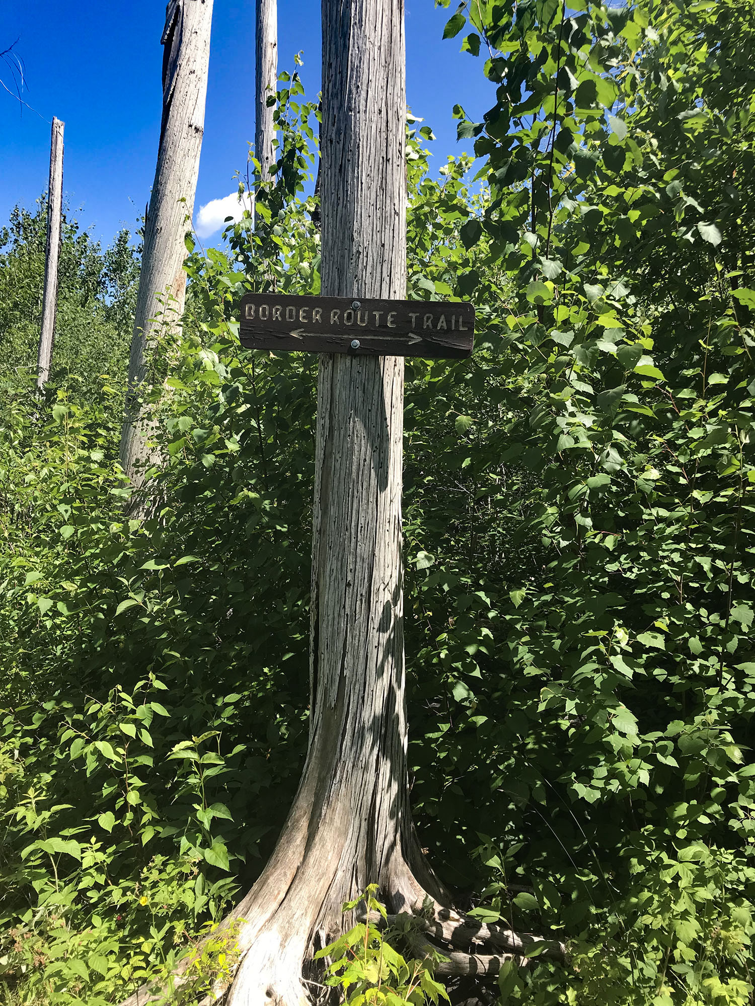
We followed the shoreline of Crab Lake for about a mile and when we reached the end of the lake we started to look for the Border Route Trail split. We knew we were supposed to stay to the LEFT as this point and there was a handy trail sign to announce the split. We continued to our left towards the Border Route Trail.
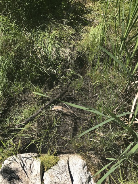
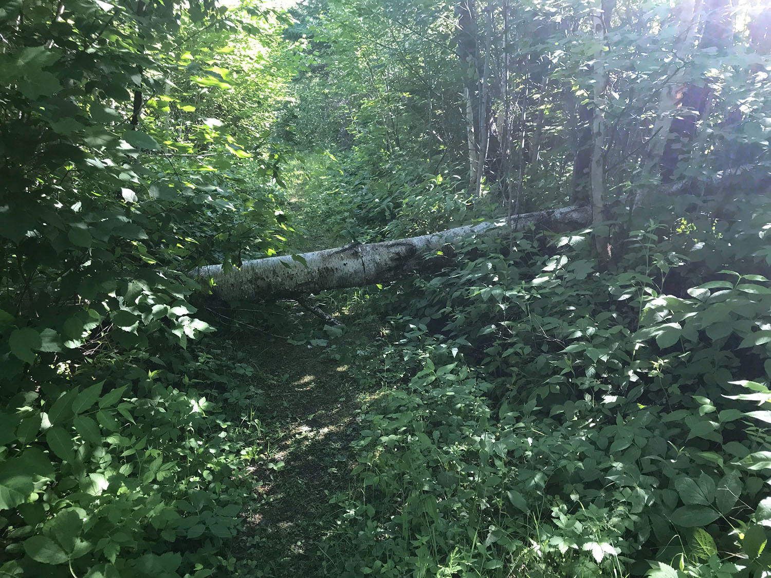
It was a little tougher hiking from this point…. Still a moderate hike but more rugged than the mostly flat grassy path we had just left. Rocks, roots, mud, elevation and a few water features sprinkled the trail.
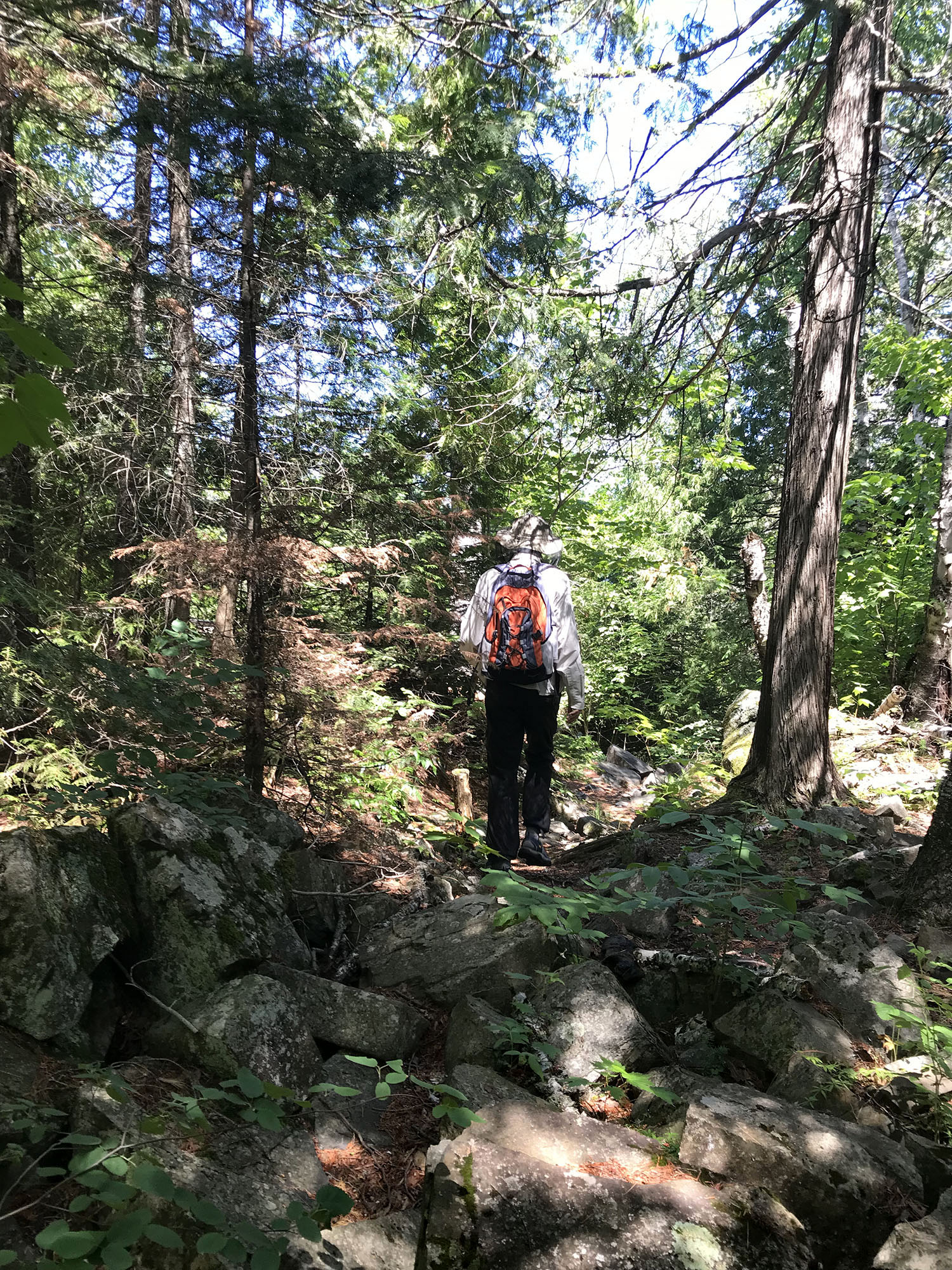
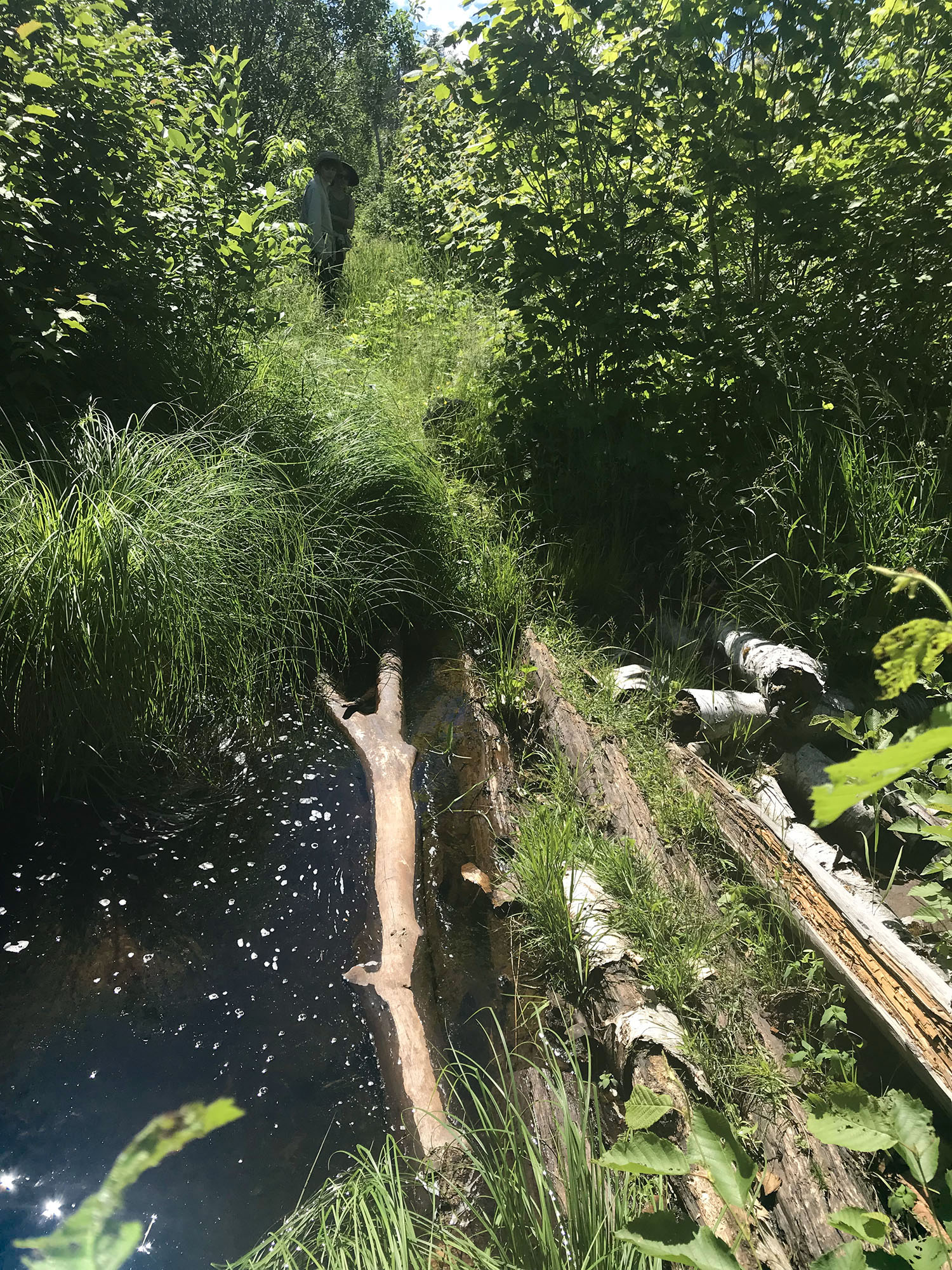
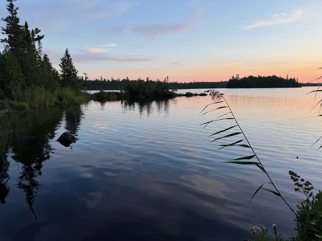
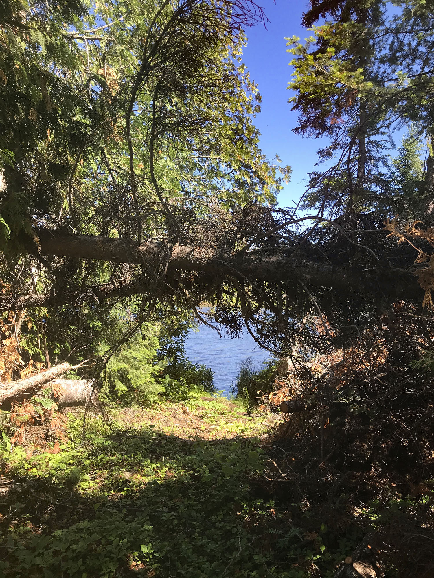
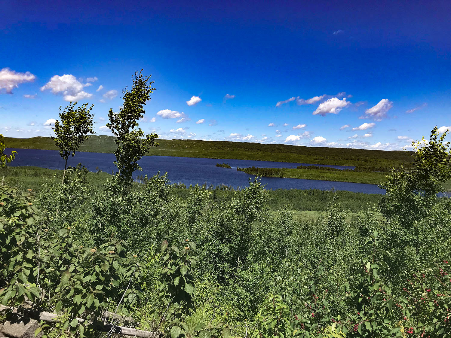
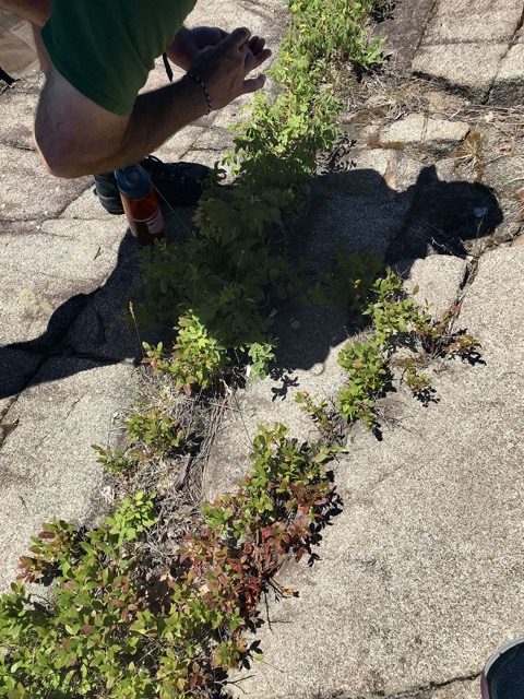
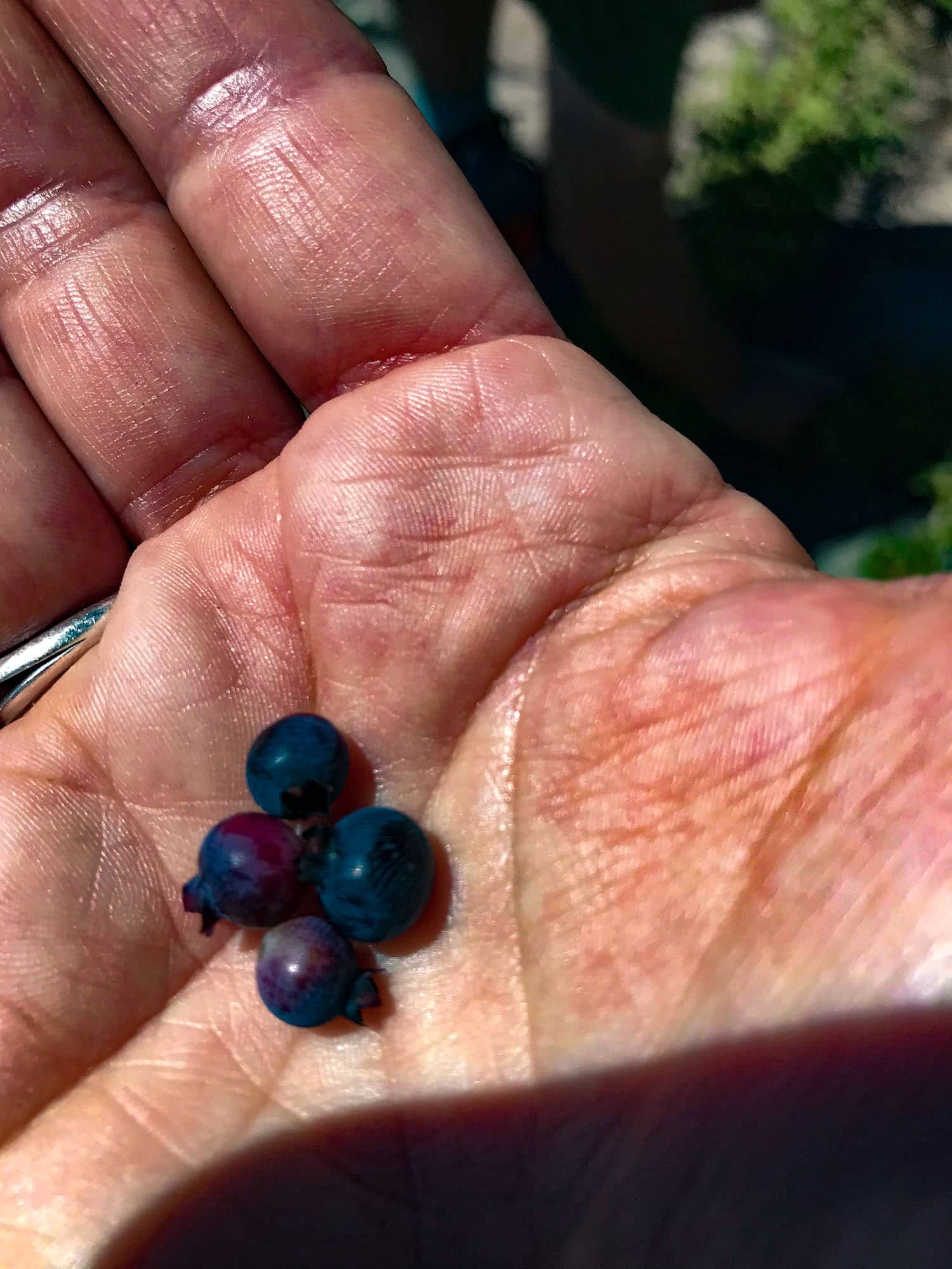
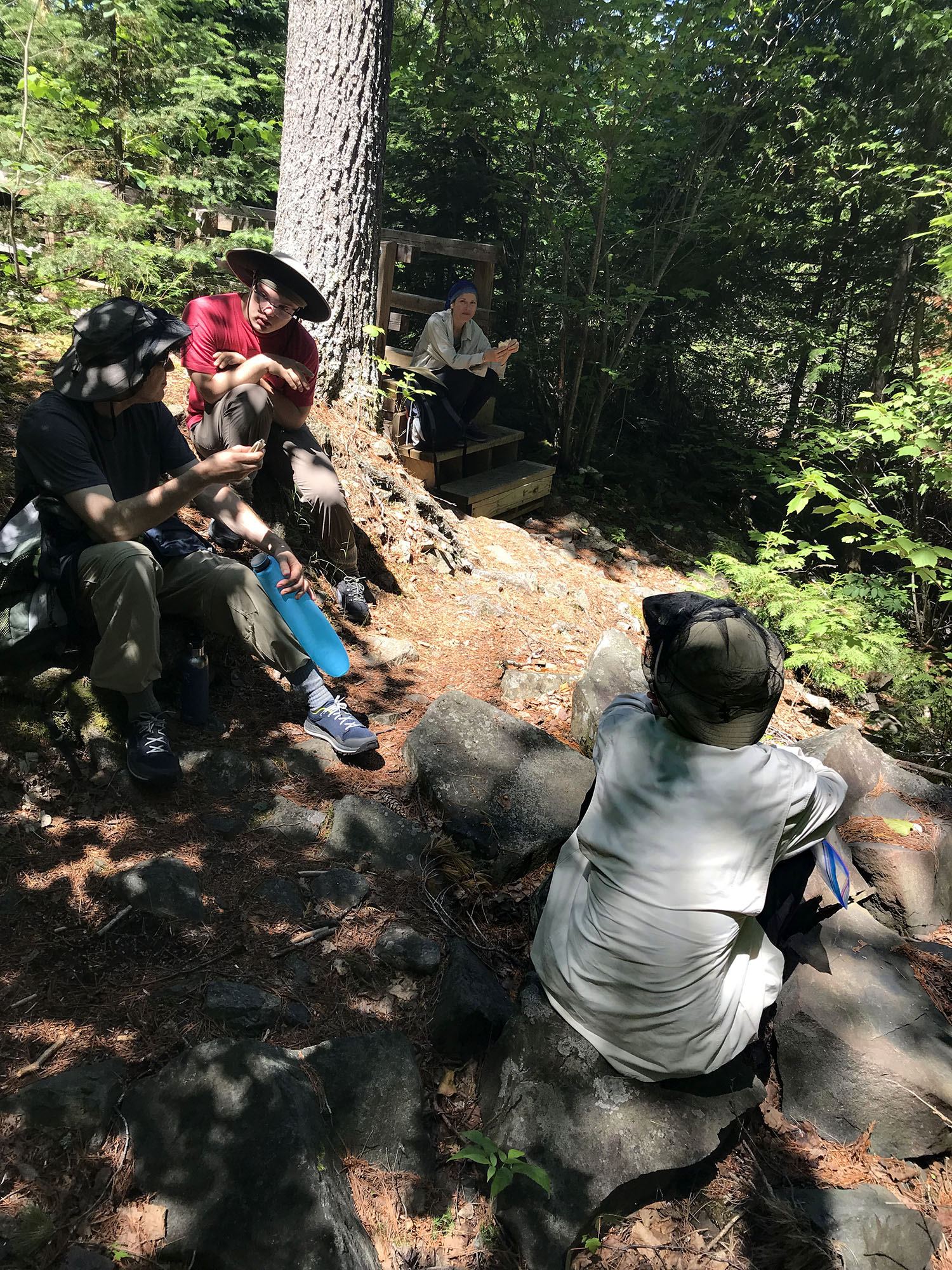
I sank up to my knee in a wet mud-covered section of the trail at one point because of the previous day’s rain. Unfortunately no photos exist of my mud adventure as I was getting assistance out of the mud and I am the main photog on our trips. The spur trail eventually joined the BRT and the ruggedness continued with the added bonus of beautiful sweeping views of Gunflint Lake along the top. We stopped for a water, snack and photo break along the top. With the added bonus of some blueberries ripe for the picking.
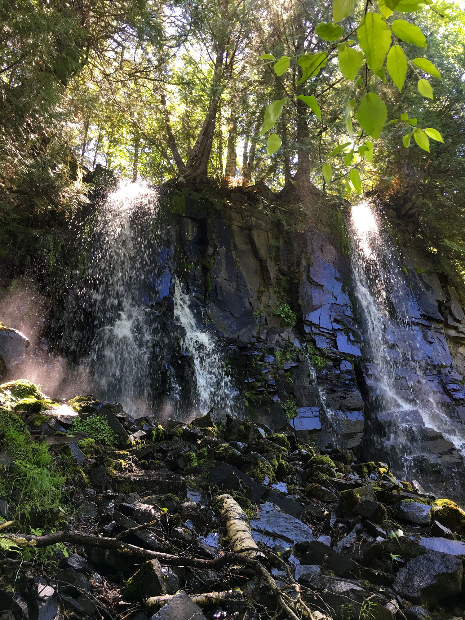
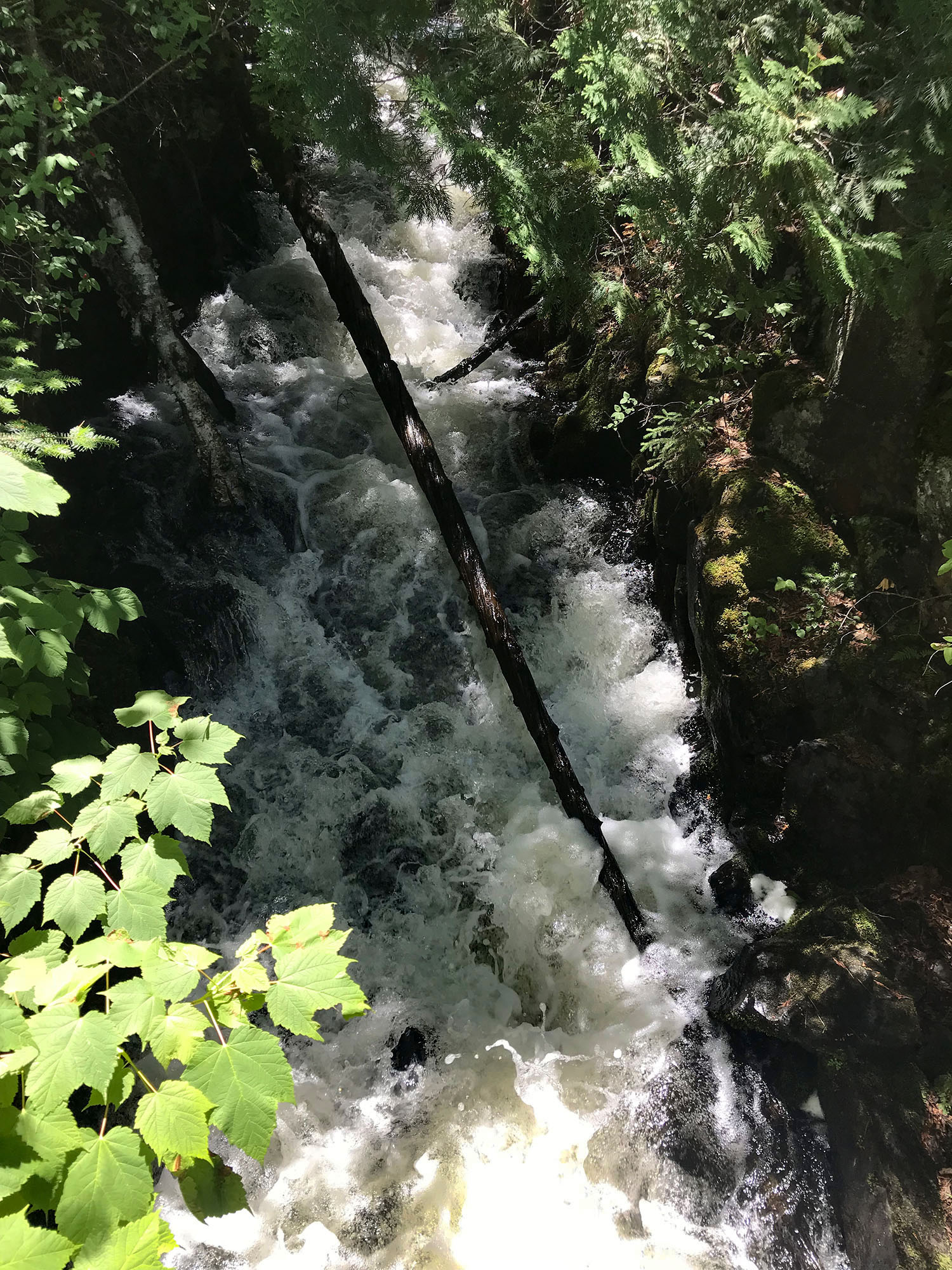
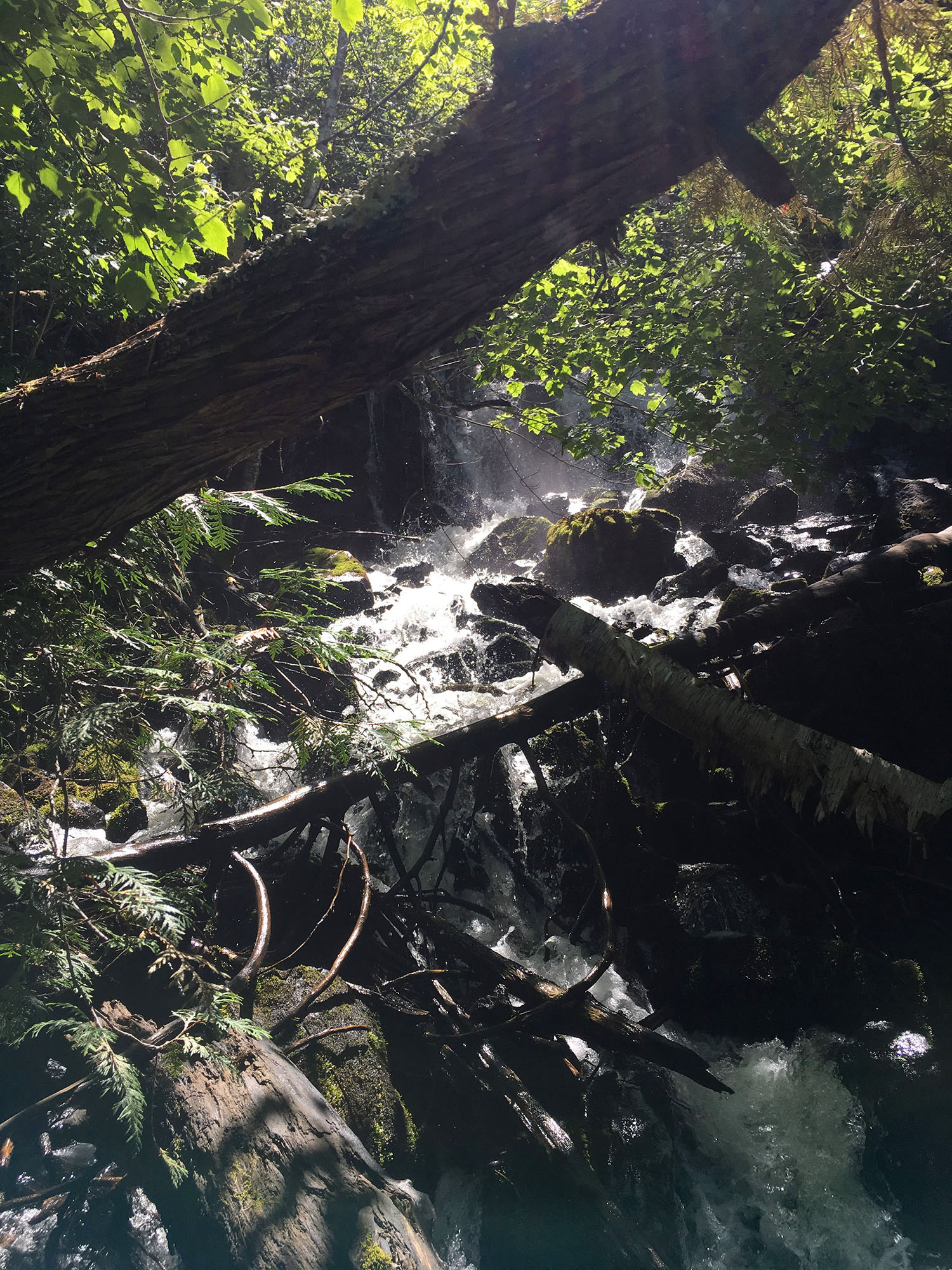
Despite the semi-rugged nature of the trail and the feeling that not many people travel this stretch, we saw multiple groups and one solo hiker along the way. When you reach the bridge over the rapids that become Bridal Falls, you have several options. Follow the rapids on either side of the bridge to locate a way down to the falls. The series of rapids and water that lead to the falls are gorgeous as well.
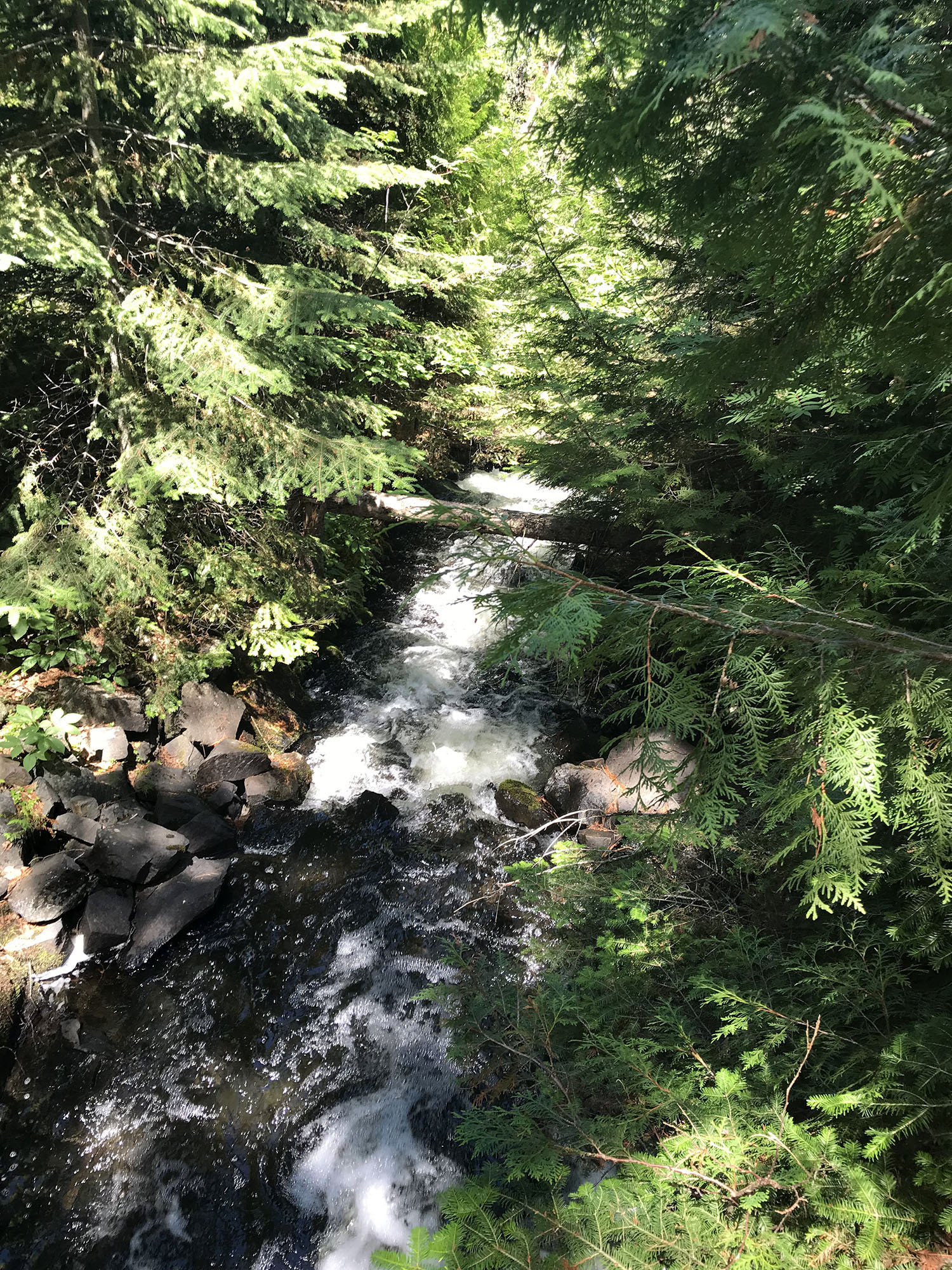
We looked on the side BEFORE crossing the bridge based on info we read ahead of time. There were a couple of options to continue down, both fairly steep and requiring agility. Only two of our group opted to go down, based on some physical limitations … And for me… my extreme fear of heights coupled with being short led me to skip it and stay up top with our friends to eat our trail lunch.
Our daughter loved seeing the falls a few years ago so she and my husband chose to make their way down the steep rocky slope to the top of Bridal Veil Falls. They ran in to several people who had come down on both sides of the bridge and it sounds like crossing over the bridge and then heading down was the easier path, at least that day. One family had younger kids and they made the trip down just fine.
Despite a fall that led to sliding partway down and having a bit of road rash to show for it, our daughter loved seeing Bridal Veil Falls from a different perspective and was thrilled to make it down there. She took several photos to share with our friends so they could see it. Less water was cascading over the falls than our previous visit but it was still worth the trip.
We finished up our trail lunch and then headed back the way we came. I’m always so pleasantly surprised at how different the trail can look on a return trip and I spent plenty of time taking photos along the way back. The warm dry day made our hike back less wet and muddy. The knee-deep mud no longer was an issue on the return trip. It’s a gorgeous hike… and I highly recommend it, even if you don’t make it all the way down to the Falls. Overall it took our group 6 hours from start to finish but that included lots of meandering, a break along the top of Gunflint Lake and lunch near the bridge over the rapids leading to the Falls. It could be done much quicker if speed was your goal. The info I read said it was about six miles (round trip) and that seems correct. We forgot to track that.