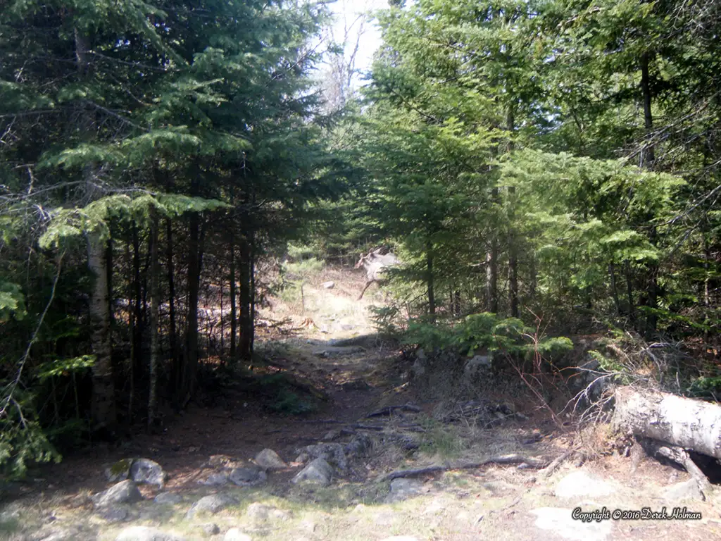
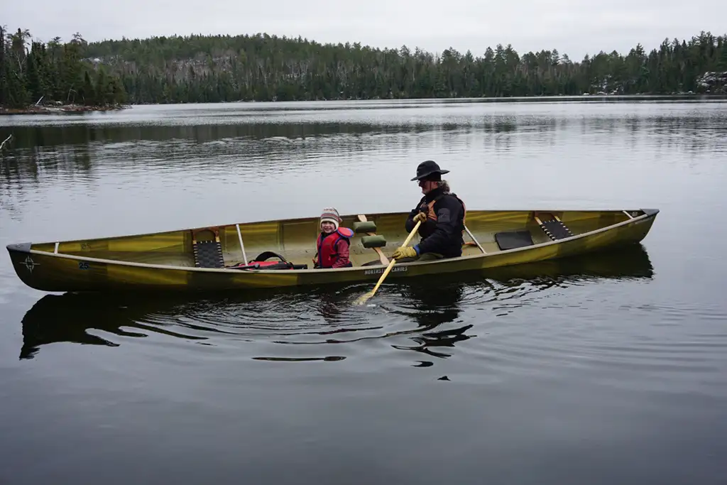
Hiking the South Lake Trail on April 30th
—
Hiking the South Lake Trail on April 30th
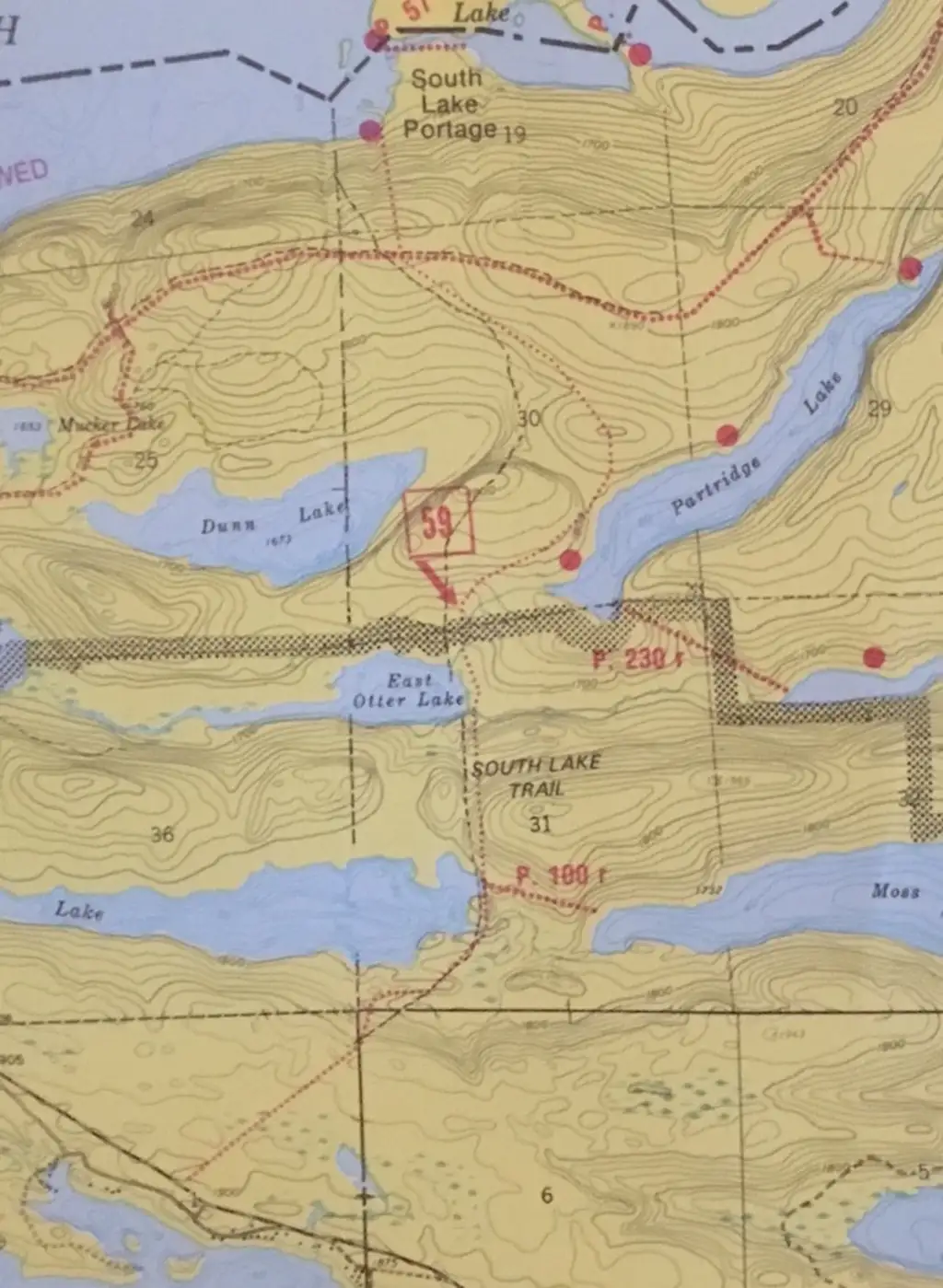
I walked the South Lake Trail from Rockwood Lodge, passing by Birch to South Lake, which borders Canada, on April 30, 2016. Here is my report. Youtube playlist
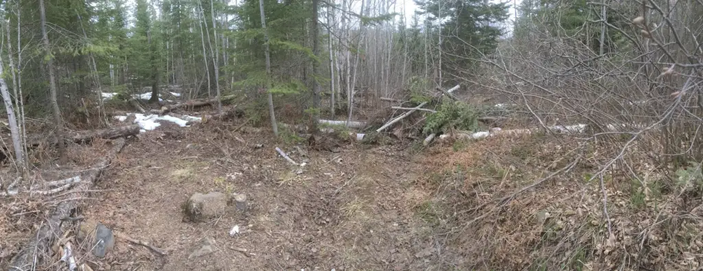
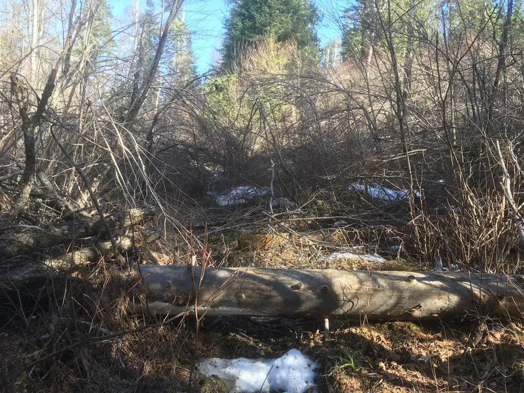
The overall condition is fair to poor. Many stretches of the trail are in top shape, as good or better than the summer time because of the lack of bugs and heat. The section from the Gunflint Trail to Birch Lake was fine, with just a few areas where the bushes (Tag Alder or Speckled Alder Alnus Incana subsp. Rugosa ) overhung the trail.
The diameter of the branches that overhung were from 1/2″ to 2″, and each side bent over the trail, locking together to form a Abatis.
abatis \ˈa-bə-ˌtēz\
: a defensive obstacle formed by felled trees with sharpened branches facing the enemy.
Early in the path these were easily stepped aside, or over, or under.
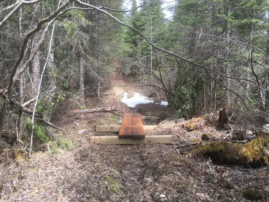
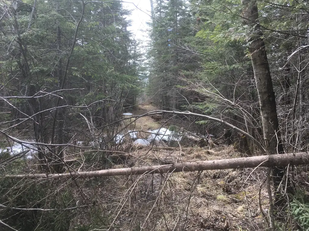
The planks placed over the standing water were in fine shaped. Two parallel 2x10s, sitting on 6×6 treated timber, made for a fine bridge. However, Moose Scat was artfully placed in several spots, making for precise steps around that obstacle. I noticed a pattern – whenever there was something blocking the trail, there was a pile of Moose Poop. Like they had to stop to figure out their next course of action and decided it was time to relieve themselves.
Moose scat
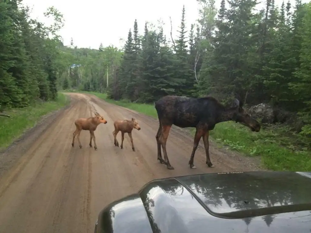
At one point I noticed big and small clustered together – must have been a mom with calves that a local UPS driver photographed the other day. Some of the path had standing water, with branches across for fun. I found a bow saw before the snowmobile trail, must have been left last fall by a trail clearing group. No markings.
photo credit to UPS driver (unnamed)
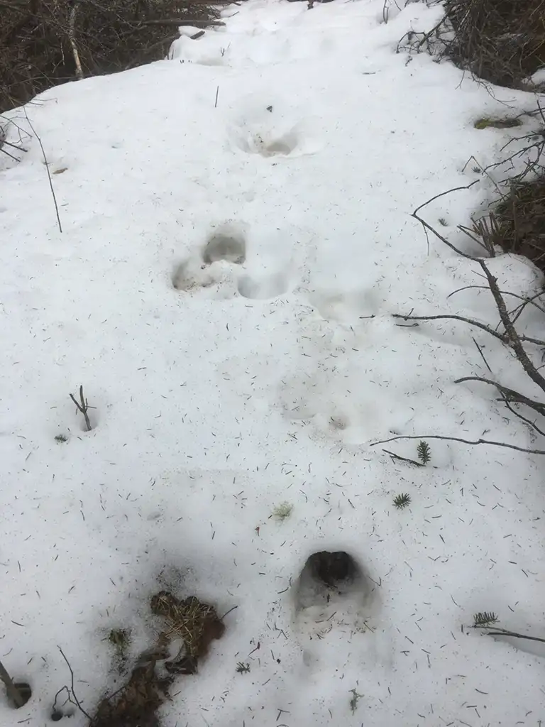
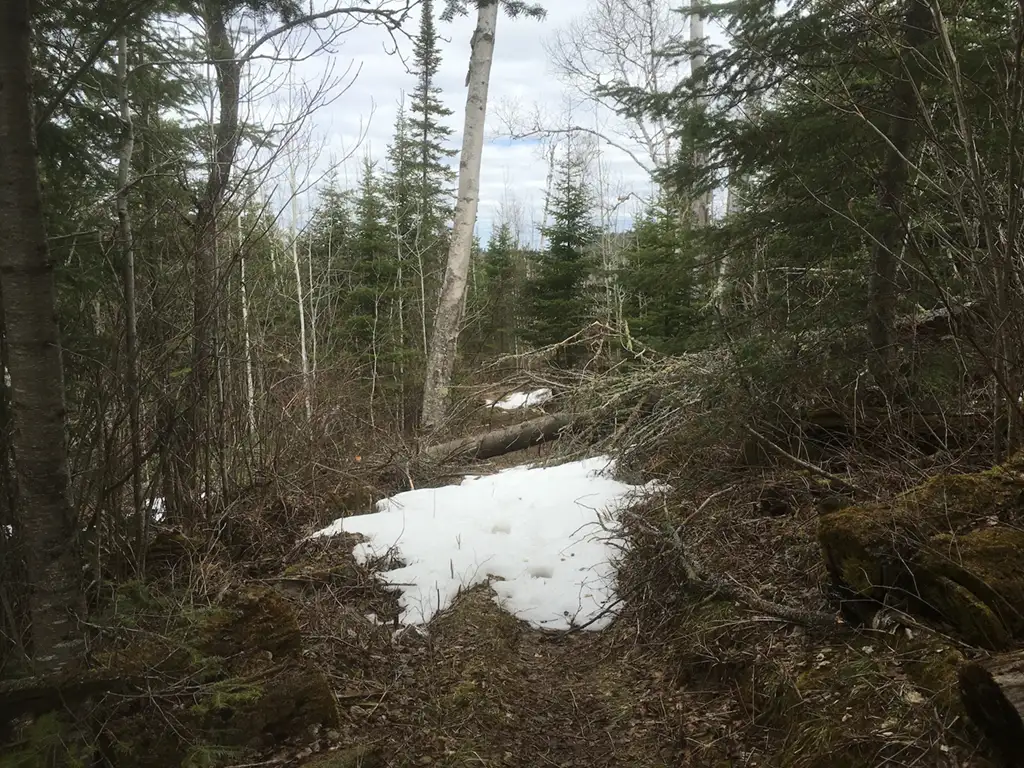
Several spots on the South Lake Trail still had snow on the path, and I could tell I was the first human since the last snowfall to walk this path. The moose tracks, however, were big and deep, with a long pace between them. Must have been a good size moose that wanted to walk the South Lake Trail.
Fork in the road
At one point before you get to Birch Lake there’s a fork in the road. If you go straight you end up at a dead end with a large Survey Marker. Back track a few steps, and the correct path has a large pile of debris blocking it. You need to walk around this pile to go Northeast and follow the path. I was corrected by the USFS that the path needs to go by the Survey Marker. Go straight north at the fork, continue on the path near the survey marker. Do not step around the debris pile, as this section of the trail is closed.
A 8″ tree was down across the path just at the hill before you descend to Birch Lake. Easy to get over.
I keep forgetting how much grade change is between Birch and Partridge. Down, and up again, and down again. It’s not so bad when you are fresh, but on the return trip these hills get OLD!
Put one foot in front of the other
And soon you’ll be walking ‘cross the floor
Put one foot in front of the other
And soon you’ll be walking out the door
A chipmunk decided to tell me he didn’t like my presence. Oh well, the poor dude would just have to file his complaint as I was not going to be easily detoured.
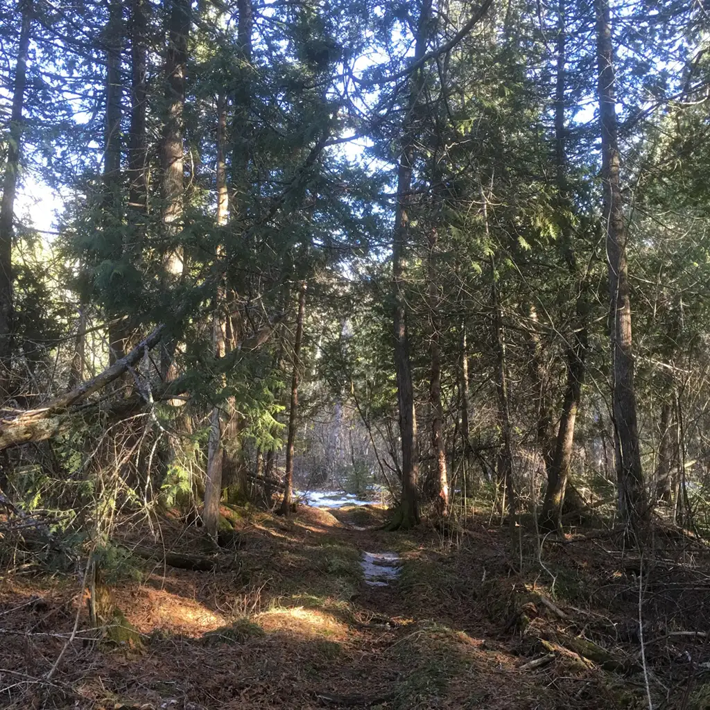
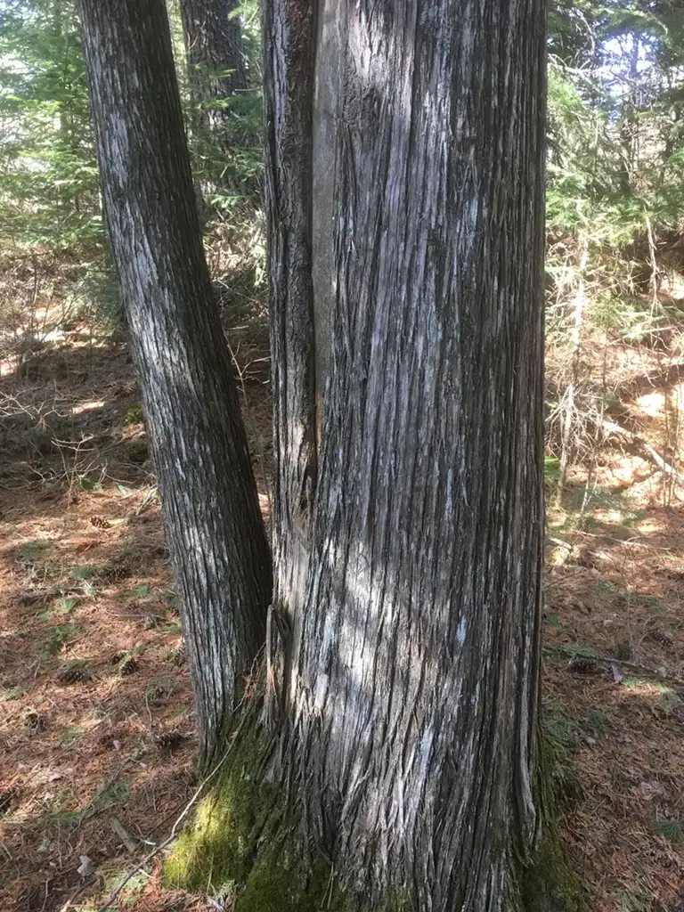
Scenery
It’s awesome walking through the trees that are 2-3 feet in diameter. Very majestic. Deep forest in the lower 48, on the South Lake Trail. Love it.
At Birch lake there’s a small stream to cross, easy enough with a few stepping stones strategically placed to make it easy. I love watching the water flow through mini-waterfalls. Gorgeous. As is the view through the trees to Birch Lake. There’s an island that’s just sitting out there, no big deal. Come visit me some day, Carl.
More forested area with moss on the ground and moss on the trees. Love it. The sunlight is dappled by the trees, and there’s still snow on the ground. It’s hard to describe how beautiful it is, tall trees with blue skies. You need to see it for yourself. It’s like the paintings my Grandmother used to paint.
A woodpecker is diligently slamming an old tree, looking for a snack. I’ll let him have it, he’s working so hard for it. They need to study woodpecker brains for concussions – why don’t they have Mild Traumatic Brain Injury?
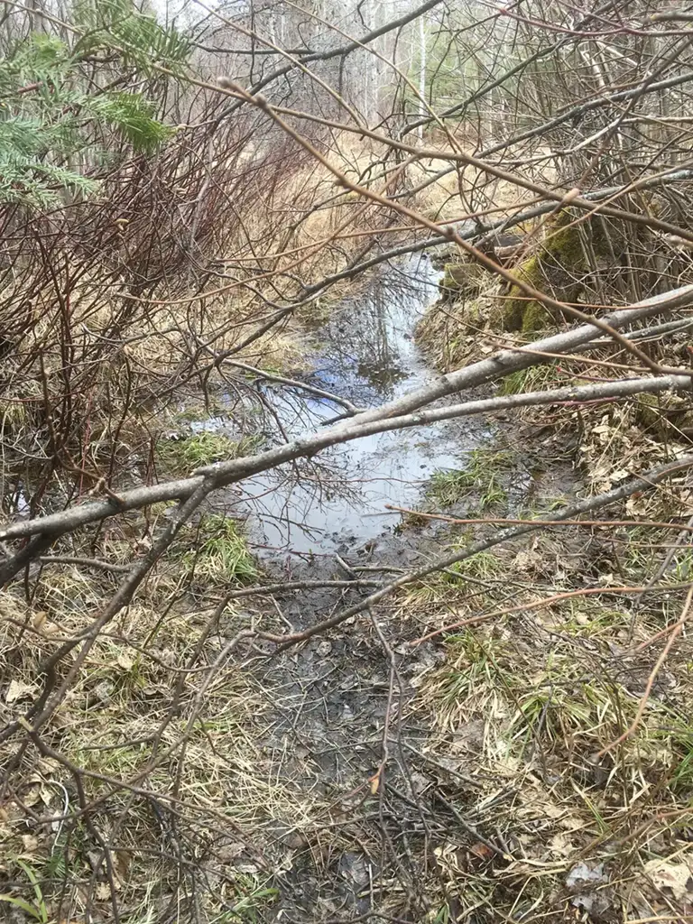
A creek (or crick if you are from Iowa) going through the middle of the trail. More strategic stepping. More snow on the trail. And ice! Wild. Of course, I had to slip and fall on it. What good would it be if there was ice with no one to slip and fall on it?
At East Otter Lake there’s a significant gap on the creek at the trail. Looks like there are abutment stones on either end, as if someone was planning to span it with a bridge. But right now that’s too far to jump, so you have to be selective and find a set of rocks to step on to the east. A little iffy, this crossing. Would be better if someone would move a large boulder into the center for a strategic pier/stepper.
Detour
The trick to navigate South Lake Trail near East Otter Lake is to turn left as soon as you see water directly in front of you. There’s a steep grade with a small piece of orange tape near a tree with the roots exposed, go up the hill. If you instead continue on the path in front of you, you’ll see that the lakes level has risen and the path is underwater. You want to know why?
Beavers have been hard at work on this section of the East Otter Lake. They have made quite a dam and their handy work is easily seen.
East Otter Lake has a marshy area in front of it, with a gorgeous lake beyond, to the West. It doesn’t look like you can get into the lake from the South Lake Trail, but looking at the cleared area someone has and continues to get into this lake from the East. Gorgeous day, partly cloudy. I like to call these clouds “The Simpsons” from the opening sequence.
Boundary Waters
Before you get to Partridge Lake you cross BWCAW Entry Point 59. It’s hard to tell that anything has changed, as the sign is broken and leaning against a tree a few yards up the trail. The trail is in good shape from here to Partridge, with a nice crossing that’s marked by a small piece of tape.
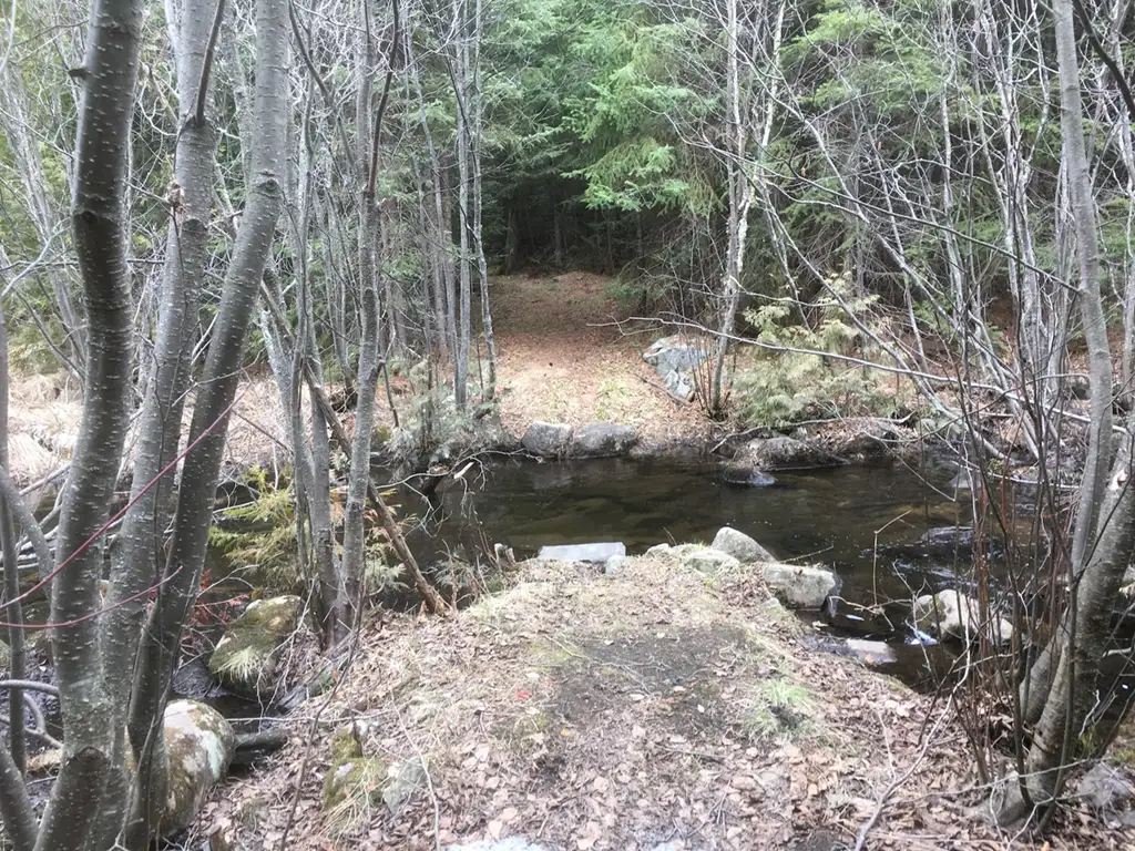
Really, it’s the only way to get from Point A to Point B, so after a few minutes of reconnoitering the area you’ll come to the same conclusion I did: Time to cross another creek. These rocks are well spaced, and it’s easy to cross. The South Lake Trail hugs Partridge Lake on the Western shore, sometimes so close you think you are going to step into the lake.
There’s ice on Partridge, but not much and it won’t last the day. Note to anyone who keeps track of these things: Ice Out on Partridge Lake is May 1, 2016.
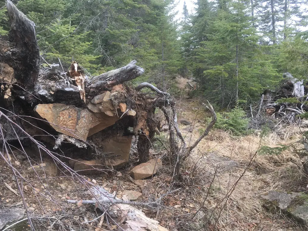
A very interesting view is an uprooted tree that decided to take some rocks up with it, in the roots.
Campsite on Partridge Lake
Next is a campsite, beautiful. A 14′ aluminum canoe with a flat transom and camouflage paint is resting here. It was here last September as well.
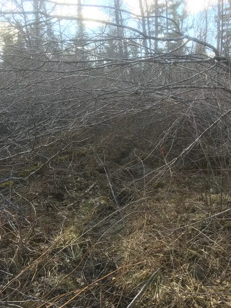
At Partridge you have to turn North / Northwest over a small hill and into a valley. The valley is full of the Alder brush that is folded over the path, so much so that it is another Abatis. VERY THICK. Incredibly hard to walk through. Sometimes you can go left or right, but it’s hard to tell when you’ve left the path and when you are on the right path.
There’s tape every once in awhile, but it’s very very hard to cross. Again, the majority of the stems are 1/2″ to 1-1/2″ in diameter, about 10′ tall, crossing from each side interlocking with each other over the path. Moose find a way to barrel through, so I tried it as well. They have little stamens that give off a puff of green pollen when hitting them; so much so I was covered in green dust.
Sometimes I leaned very hard into the shrubs to try and get through, other times I was able to lift one side aside and push the other aside, making my way through. I crawled through at one point. I walked on top at one point. I tried everything. The fun part, like I mentioned before, is after breaking trail sometimes you lose the original trail, and have to search around for it.
It’s at this point I heard voices. Not in my head, this time. A male and female voice, very excited. I kept on going, thinking I could travel as fast as they could, having at least a 100 yard advantage. But within minutes they caught me – his name was Carter and hers Sam. They wore short sleeve shirts and long shorts, with legs that were cut up from busting through the same brush I just did. They were doing a loop through Moss Lake Trail, up the South Lake Trail, and were heading for the Border Route Trail to take them back to the Duncan Lake area. Very fast, I felt like I was slowing them down.
We pushed through a lot more heavy growth until we reached the forest again, where it cleared up considerably.
Border Route Trail
Before long we were at the Border Route Trail (BRT). This is where I learned they heard a speech from Ed about the BRT and they showed me very nice maps. They had plans to come back later and do the entire BRT. A nice couple, but I was glad to be on my own again and go back down to my leisurely stroll. Less than a quarter mile to South Lake!
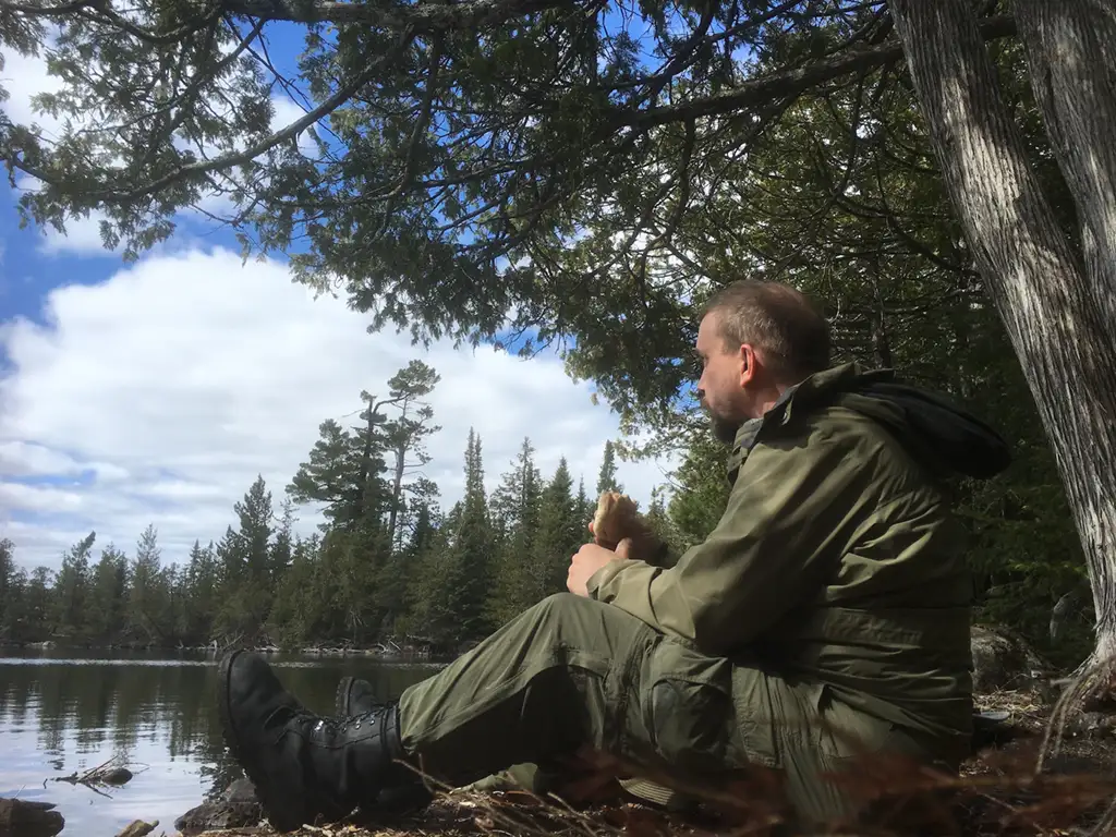
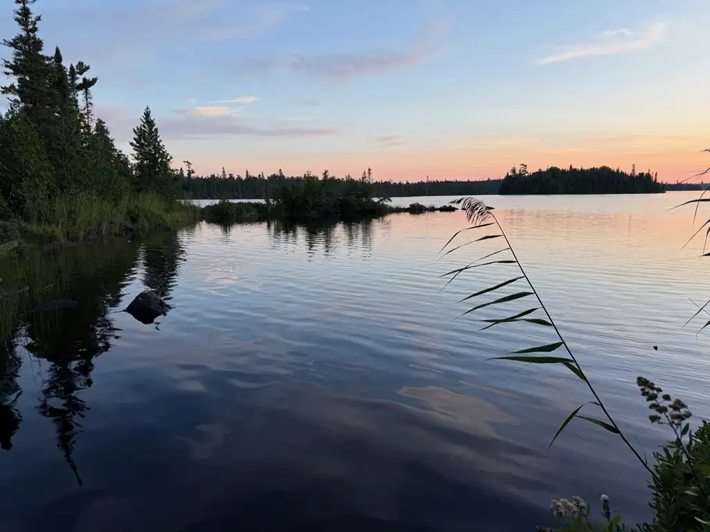
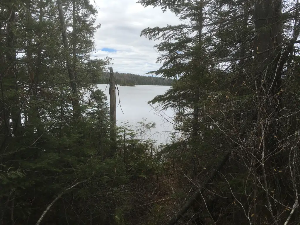
South Lake
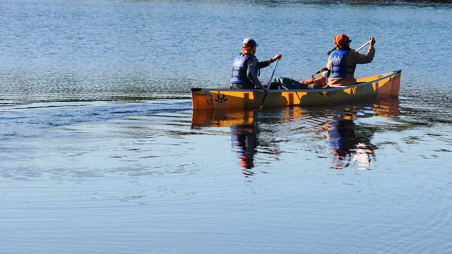
The last section is in deep woods, and the grade drops off quickly. Pretty soon you can see the lake through the trees. Oh and what a lake! South Lake is a gorgeous, large lake that stretches East – West. Just north of this campground is a portage between South Lake and Rat Lake, EP 57. I was told there is an international marker there, but I’ll have to visit again another day to see that. I just sat on campsite and enjoyed the view. A ham sandwich and a new pair of socks and I was ready to return!
Getting lost (temporarily)
The trip up the hill went quickly, but soon I was struggling with the large shrubs again. It doesn’t help to curse their name, but I tried, in vain. And again. Nope, still doesn’t help. So I began to push really hard through the shrubs, and lost my way. I looked around, and found a trail. It didn’t look familiar, but it was a trail, and trails usually lead somewhere.
I went over a rock outcropping and a mile further before I realized I was walking straight towards the sun. Shouldn’t it be on my right if I’m going South? Just a little?
iPhones north of the Sawtooth Mountains are little to no good. However, the GPS unit still works fine, and I downloaded some ‘offline’ maps to google, so I can get a rough idea where I’m at. Yeap, way too far west. I’m on the Border Route Trail (BRT)! Time to double back. I’m getting winded and frustrated. Back down the rock outcropping, and within a couple of hundred feet there’s South Lake Trail! Found it. It’s funny because I was telling Carter and Sam how I couldn’t see the BRT to the west. Well, I stumbled upon it and found it just fine.
Now I’m tired, and I still have to navigate the shrubs between here and Partridge Lake. More cussing, more realization that cussing doesn’t help. Somewhere my sunglasses are dangling on one of those shrubs. If you see them, please return them, and I’ll give you a nice bow saw I found.
I left on this adventure at noon, and made it back to Rockwood just at 7pm. 7 hours for 7 miles. Pretty slow! Guess at 48 I need to get into better shape.
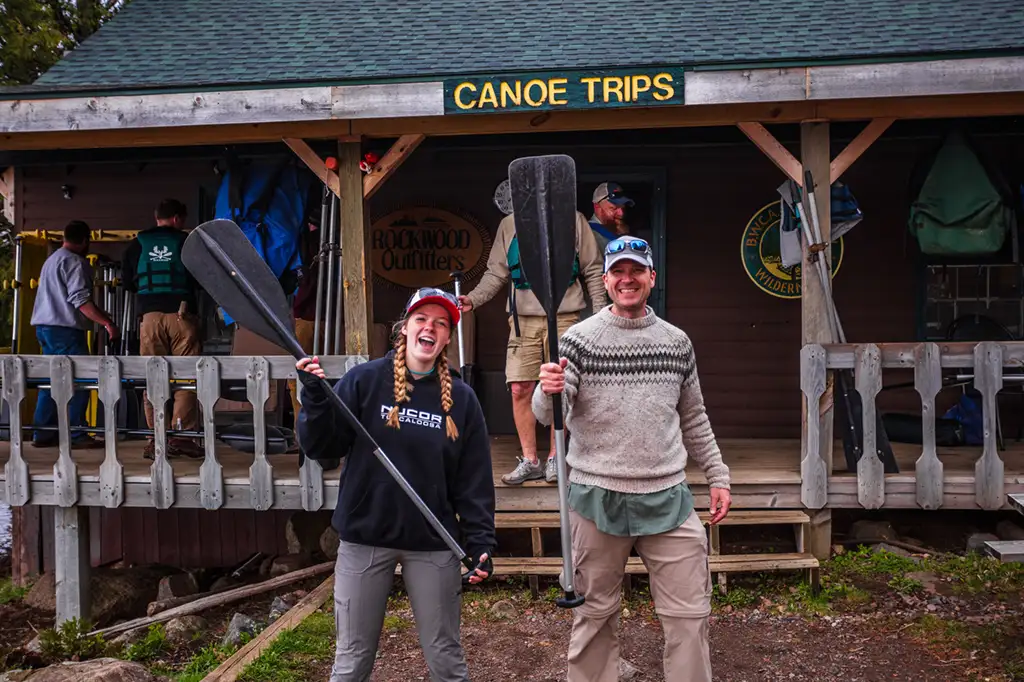
Thanks for reading, please stop by Rockwood and say hi!